Add your own picture and explain the route, parking, gates, paths or landmarks that help people find it.
Earn 5 points after the picture is checked and accepted.
Add your photo and local directionsShare what you foundWhat is recorded here
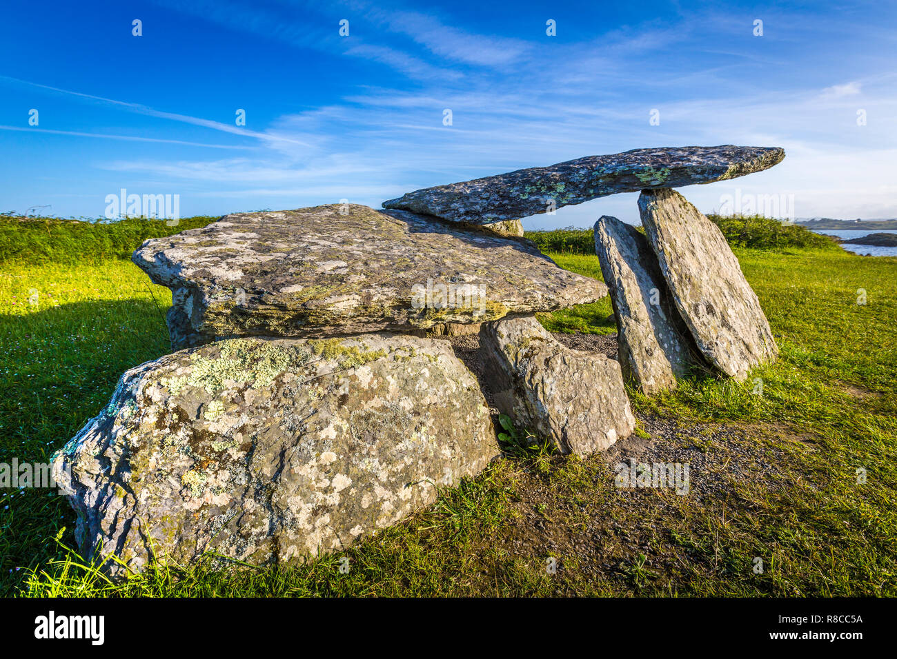
In rough pasture, with outcropping rock on the bog-covered SW-facing slopes overlooking Castletownbere and Berehaven Harbour. The lower portion of the outer element of the tomb is enveloped in peat. The wedge-shaped gallery (L 1.6m; Wth 0.72m at E end), aligned ENE-WSW, is closed at E by a backstone. The N side is represented by a single slab and the S side is formed by two uprights; the W of these leans markedly inwards. The gallery is partly covered by a roofstone (1.85m x 1.75m; T 0.15-0.2m) which has slipped forward over the collapsed S sidestone and slopes down to the SW blocking the W end of the monument. An inclined slab set immediately outside the S side near the backstone may be part of outer-walling. A standing stone (CO115-095----) is located 140m to the NE and a fulacht fia (CO115-096----) 180m to the SE.
The above description is derived from 'The Archaeological Inventory of County Cork. Volume 5' (Dublin: Stationery Office, 2009).
Date of upload: 22 December 2009
The monument record does not grant public access. Check the route and ask the landowner before entering private land.