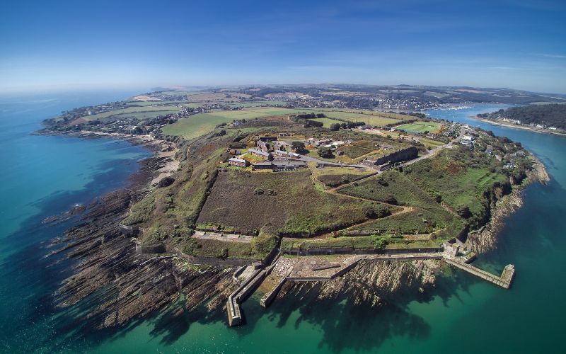
Add your own picture and explain the route, parking, gates, paths or landmarks that help people find it.
Earn 5 points after the picture is checked and accepted.
Add your photo and local directionsShare what you foundWhat is recorded here
On a rocky promontory, jutting W into the sea, with tall cliffs on its S, W and N sides. This promontory is named Dooneen on the 1897-1909 OS 6-inch map and is still known locally as such. The Doon [Dún] element in the name suggests that there may have been a promontory fort here. The promontory and its environs was mined for copper in the early 19th century and any traces of the fort would have been destroyed at that time. An abandoned mineshaft and mining waste occupy the E end of the promontory.
The above description is derived from 'The Archaeological Inventory of County Cork. Volume 5' (Dublin: Stationery Office, 2009).
Date of upload: 22 December 2009
The monument record does not grant public access. Check the route and ask the landowner before entering private land.