Add your own picture and explain the route, parking, gates, paths or landmarks that help people find it.
Earn 5 points after the picture is checked and accepted.
Add your photo and local directionsShare what you foundWhat is recorded here
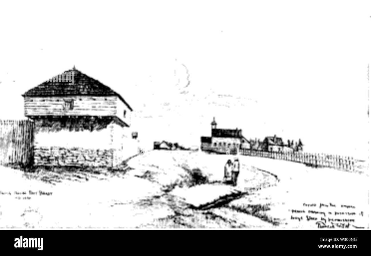
At the NE tip of Castlepark promontory in Kinsale harbour. The remains of this blockhouse are approached from the W by a covered way from James' Fort (CO112-036---). It was built on a rock outcrop just above the high-tide mark. According to O'Neil (1940, 113), the earliest part of the structure dates to the 16th century, however, O'Sullivan (1916, 99) gives a 1604 account for the construction of James Fort which includes £50 for a 'Blockhouse at the point of the land'. It is shown on a 1625 map (Hayes-McCoy 1964, 33) and clearly depicted in Phillips's 'prospect' of 1685 (Kerrigan 1977-9). Whatever its date, the structure appears to be the remains of a shore-level battery of at least eight guns, with a magazine and accommodation as part of the complex.
The remains consist of a roofless ruin, modified in recent times when it was used as a 'store for fish boxes' (O'Sullivan 1916, 100). The covered way leads to a downward sloping ramp passing between two rectangular structures and through wide doorway onto the level platform (17.8m E-W; 17m N-S), enclosed by straight walls to the N, S and W and by a three-sided wall to the E. The ground floor wall is pierced by a series of double splayed opes, all modified recently to take window frames; the 1st floor wall was added in recent times. The double splayed opes are probably gun ports. In the NW corner a passage leads to a domed magazine (6.1m E-W; 4.6m N-S), approached through a small ante chamber. In the N wall of the passage there is a splayed and lintelled ope with a narrow vertical slit, and according to O'Neil (1940, 112) it is 'probable that this opening is for cannon' and was dated by him to the 16th century. In the SW corner a rock-cut passage with rock-cut stairs rises to a platform (c. 4m E-W; c. 3.5m N-S) overlooking the buildings. On the N side of the ramp is a 2-storey structure (int. 3.45m N-S; 3.6m E-W) with a fireplace in the W wall on both floors, and gun loops in the N and S walls at 1st floor level. To the S of the ramp there is a similar structure with one floor, at a higher level, also with a fireplace in the W wall.
Overlooking the blockhouse, c. 80m to the WSW is a rectangular gable-ended structure (7.3m N-S; 10.5m E-W), roofless but with walls standing to full height, partially ivy-clad on inspection. It has a central door in the E wall, approached through a round-arched porch, flanked by windows with attic window overhead; the side walls are blank. A central fireplace in the W wall is covered by a segmental brick arch, and a rectangular stack overhead; unusually, four angled flues feed into the stack but the features from which they fed are gone or ruined. Kerrigan (1980, 15) suggests it may be the remains of a tower built in 1654-6 and shown on Phillips's 'prospect' of 1685, however, it is depicted on the prospect as a tall square tower unlike the present structure. The arrangement of flues suggests some system for smoking fish; according to local information it was used for curing fish (pers. comm. Eugene Gillen).
This is a National Monuments in State Guardianship (no. 525).
The above description is derived from the published 'Archaeological Inventory of County Cork. Volume 2: East and South Cork' (Dublin: Stationery Office, 1994). In certain instances the entries have been revised and updated in the light of recent research.
Photographs attached
CO112-083----_01: View of blockhouse from SE.
CO112-083----_02: Interior of the blockhouse from S.
Date of upload/revision: 14 January 2009
The monument record does not grant public access. Check the route and ask the landowner before entering private land.