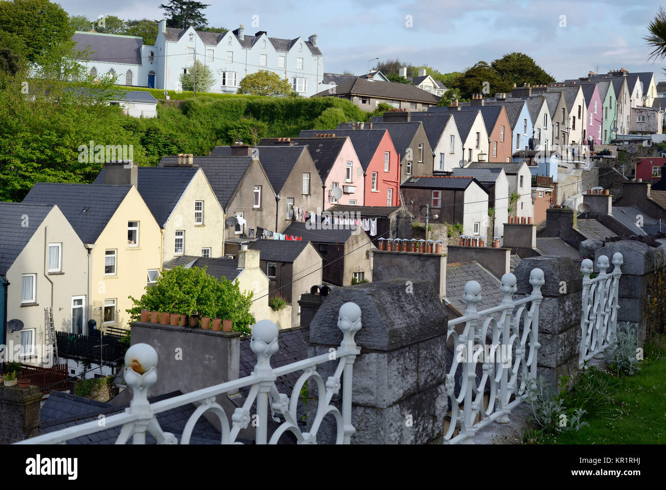
Add your own picture and explain the route, parking, gates, paths or landmarks that help people find it.
Earn 5 points after the picture is checked and accepted.
Add your photo and local directionsShare what you foundWhat is recorded here
On N and S banks of Bandon river, walled town created in early decades of 17th century under the patronage of Richard Boyle, Earl of Cork. The town today is largely of 19th-century character; apart from Christ Church (3344) no buildings of 17th century survive; however, sections of town wall can still be traced. No remains of wall on N side of river apart from short section to rear of house on E side of North Main Street and possibly the core of the N boundary wall to graveyard at Christ Church. South of river are more extensive remains: two runs of E wall (for 22m and 11.5m) between St. Patrick's Hill and Casement Road; most of S wall replaced by later wall on same line but probable original section (L c. 20m) on steps up to Catholic Church from Market Street; another stretch (L 24.3m) along E side of Church Street; E, S and W boundary wall of St Peter's Church (3351) on line of wall and batter at base of S wall may be original feature; best preserved sections are two lengths of W wall as it approaches river to N: running due S from river bank 18m stretch (wall thickness 2.75m) to 5.5m gap, then 70m stretch (wall thickness 3.5m) running in SW direction; the wall itself is low (H c. 1m) with narrow walls (H c. 1.5m; thickness c. 0.45m) along inner and outer edge forming narrow walkway. No defensive features are preserved and no trace of town's gates (CO110-019002-). (Connolly 1985, 55-60; MacCarthy-Morrogh 1986, 55-62; O'Flanagan 1988, 1-16)
see Excavations 2000, no. 115, p. 39-40; Excavations 2001, 31; Excavations 2003, 38.
The above description is derived from the published 'Archaeological Inventory of County Cork. Volume 1: West Cork' (Dublin: Stationery Office, 1992). In certain instances the entries have been revised and updated in the light of recent research.
Date of upload/revision: 14 January 2009
The monument record does not grant public access. Check the route and ask the landowner before entering private land.