Add your own picture and explain the route, parking, gates, paths or landmarks that help people find it.
Earn 5 points after the picture is checked and accepted.
Add your photo and local directionsShare what you foundWhat is recorded here
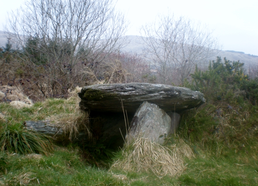
On the SW-facing slopes of the Maughanaclea Hills in an area of boggy upland. The tomb is located in a hollow between two natural rises to the W and E and is incorporated in the townland boundary separating Ardrah from Gortnacowley. Two overlapping slabs (H 1.2m), aligned ENE-WSW, lean slightly to the S and represent the S side of the gallery (L 2.8m) which, together with the backstone, appear to be the only stones in their original positions. The stones forming the N gallery side were displaced when a drain was dug along this side of the boundary c. 30 years ago (local info.). Two prostrate slabs lying in the gallery area W of the backstone probably represent the remains of the N side. A prostrate slab (2.1m x 1.5m; T 0.15m) lying c. 1m to the SE of the tomb is probaby the displaced roofstone. Outside the SW corner of the gallery, a slab leaning to the E may be a displaced façade stone; a second stone, with its W end stuck in the ground, leans against the former. A slab (2.1m x 0.5m; T 0.2m) lying in the bottom of the drain 4m W of the tomb may be a displaced part of the structure. A cairn (CO106-085---) is located 190m to the SW.
The above description is derived from 'The Archaeological Inventory of County Cork. Volume 5' (Dublin: Stationery Office, 2009).
Date of upload: 22 December 2009
The monument record does not grant public access. Check the route and ask the landowner before entering private land.