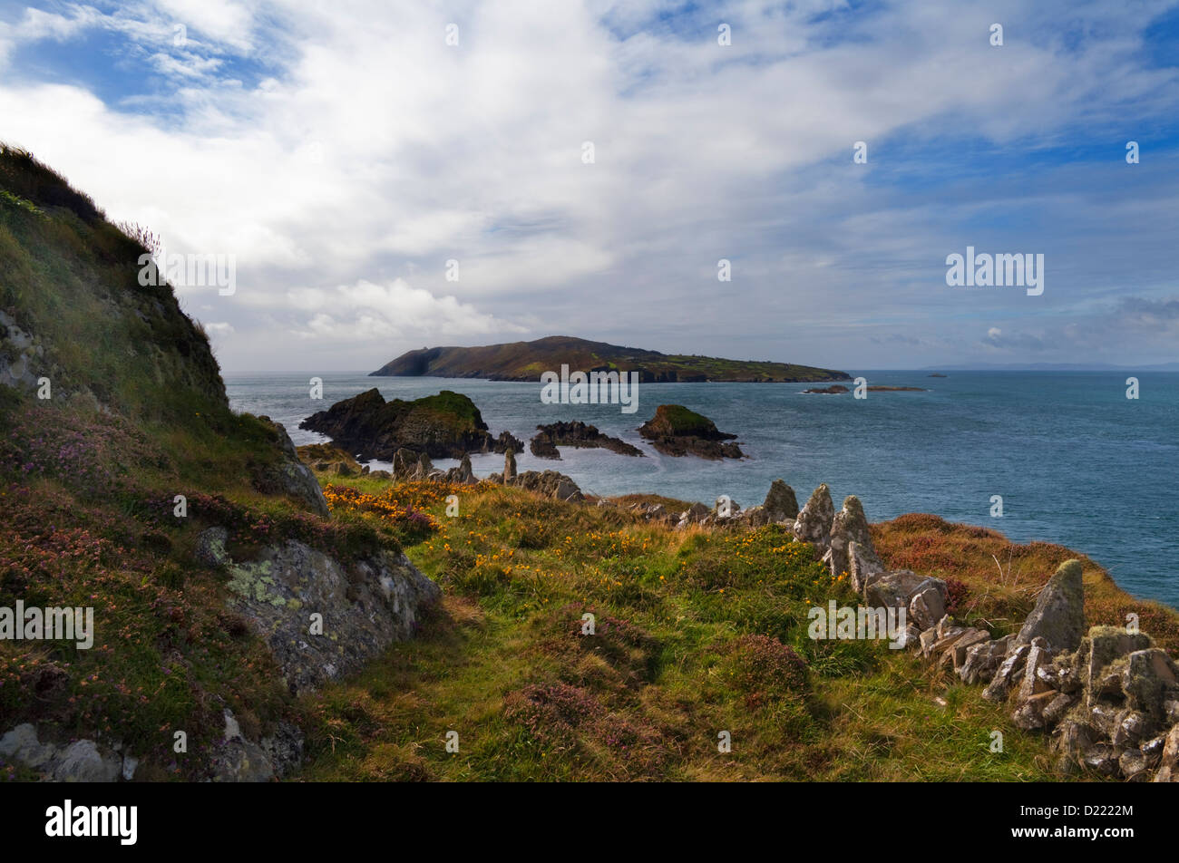
Add your own picture and explain the route, parking, gates, paths or landmarks that help people find it.
Earn 5 points after the picture is checked and accepted.
Add your photo and local directionsShare what you foundWhat is recorded here
In pasture, atop hillock. Circular area (diam. 30m) enclosed by collapsed stone wall; some rebuilding of upper courses; shallow external fosse to SW. Break in wall to SW (Wth 1.5m). Running up to the site are four radial stone-faced field boundaries.
Myler (1998, 113) records 'that there are two flagstones of about 12 ft. in length lying on the SSE side which were possibly entrance stones. There is a tradition of a souterrain within this fort and a story of a boy going down into it and returning with some cinders. There is evidence of burnt stones near the fort'.
The above description is derived from the published 'Archaeological Inventory of County Cork. Volume 1: West Cork' (Dublin: Stationery Office, 1992). In certain instances the entries have been revised and updated in the light of recent research.
Date of upload/revision: 29 January 2013
The monument record does not grant public access. Check the route and ask the landowner before entering private land.