Add your own picture and explain the route, parking, gates, paths or landmarks that help people find it.
Earn 5 points after the picture is checked and accepted.
Add your photo and local directionsShare what you foundWhat is recorded here
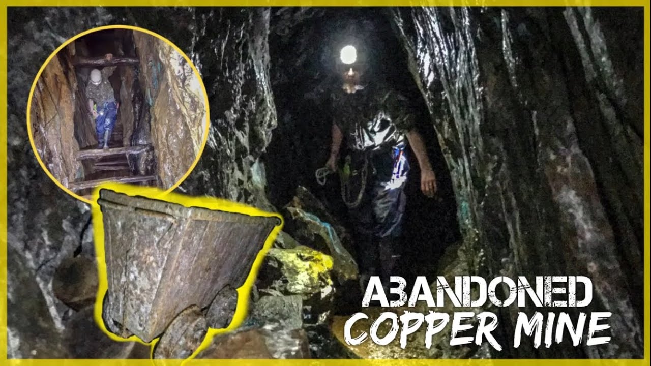
In rough rocky hill pasture, on the steep N-facing slopes of a river valley. Three separate adits (Wth 2.4m; H 1.2m; L c. 5m, Wth 3m; H 1.1m; L c. 4m and Wth 2.5m; H 2m; L c. 5m) are visible at the base of the N face of a cliff, separated by two pillars of rock. The adits, which are filled with water and debris and slope down to the S, have dome-shaped roofs and traces of fire-setting and occasional green staining of copper mineralisation. Immediately to the N of the adits is a large, mainly sod-covered, irregularly shaped mound (14m E-W; 10m N-S; H 2.4m). The N side of the mound is eroding and spilling down the steep slope as far as the river-bed. Here a variety of heat-shattered stones, damaged stone mauls and nodules of charcoal are visible, intermixed with black charcoal-enriched soil. This mine has been radiocarbon dated to 3230 30BP (O'Brien 2003, Table 1). There is another copper mine (CO103-025001-) c. 45m to the N.
The above description is derived from 'The Archaeological Inventory of County Cork. Volume 5' (Dublin: Stationery Office, 2009).
Date of upload: 22 December 2009
The monument record does not grant public access. Check the route and ask the landowner before entering private land.