Add your own picture and explain the route, parking, gates, paths or landmarks that help people find it.
Earn 5 points after the picture is checked and accepted.
Add your photo and local directionsShare what you foundWhat is recorded here
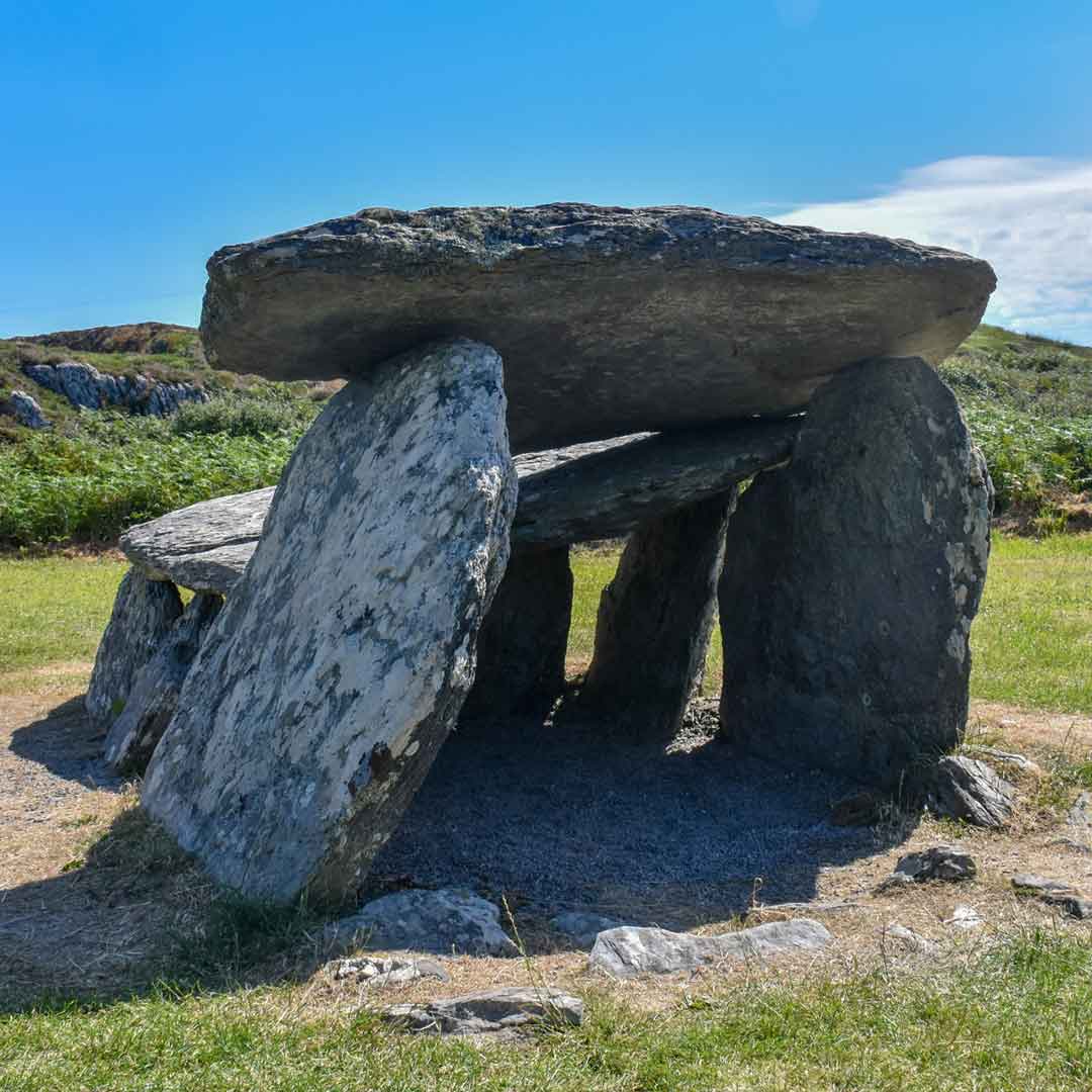
Within a coniferous forest (planted 1991) on the W-facing slope of the upper reaches of the Barony River valley with views to the SE and S along the valley to Glengarriff Harbour. The remains consist of a gallery (L 3.7m; Wth 0.8m), aligned E-W, divided into two almost equal chambers by a transversely set slab placed about midway along its length. The E chamber (L. 1.7m) is represented by a backstone and a thin slab which formed the E component of the S side; there is no surviving N side. The W chamber (L 1.7m) is open to the W and has single sidestones to the N and S. An almost recumbent slab, set transversely c. 1.2m in front of the W of this chamber, may be interpreted as a possible septal-stone. A number of overlapping, inclined and prostrate slabs immediately S of the gallery might represent outer-walling. The W chamber is almost completely covered by a roofstone (2m x 1.2m; T 0.15m) and a second roofstone lies in the E chamber (1.4m x at least 1.2m exposed; T 0.2m). There is a substantial stone (L 1.85m x 0.40m; H 0.85m) standing upright c. 4m N of the tomb; its relationship to the monument is unclear. An enclosure (CO091-014002-) is located 62m to the N and there are remains of pre-bog walls (CO091-014001-) 140m to the NE. Another wedge tomb (CO091-013----) is located c. 900m to the NE and a third (CO091-010007-) is visible across the valley 1.3km to the NW.
The above description is derived from 'The Archaeological Inventory of County Cork. Volume 5' (Dublin: Stationery Office, 2009).
Date of upload: 22 December 2009
The monument record does not grant public access. Check the route and ask the landowner before entering private land.