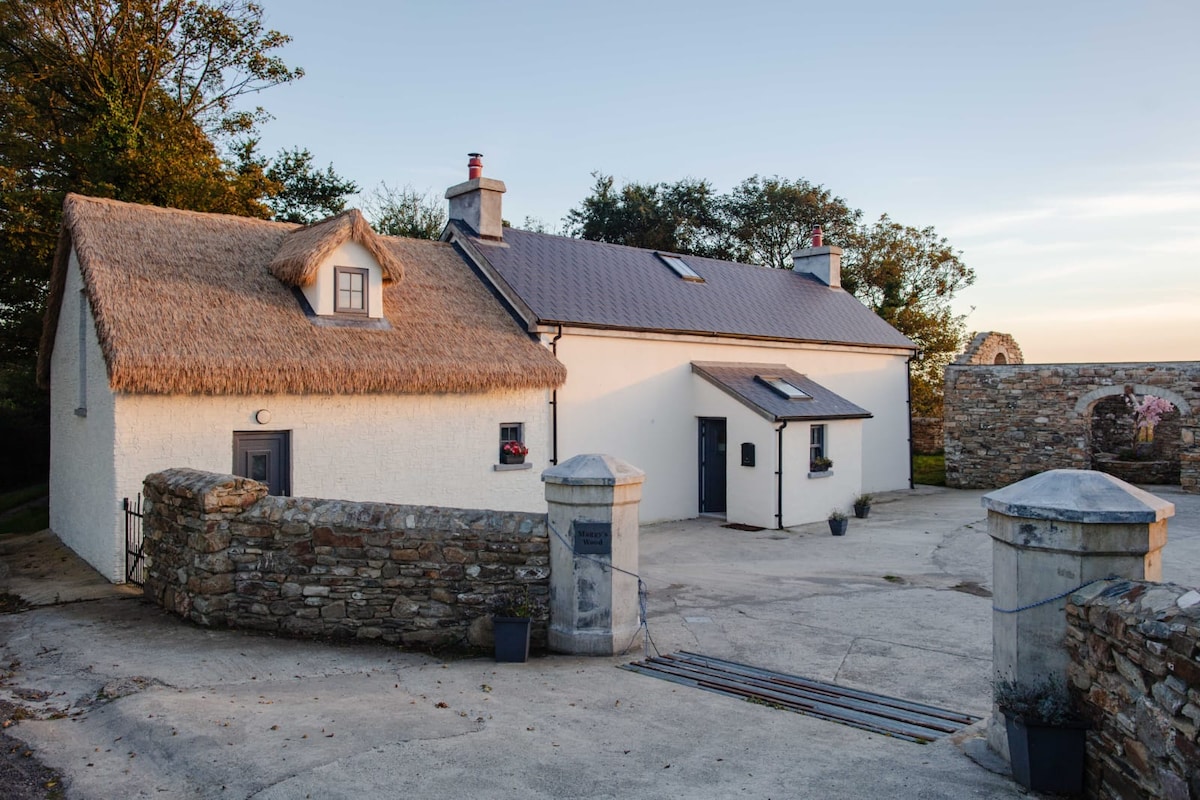
Add your own picture and explain the route, parking, gates, paths or landmarks that help people find it.
Earn 5 points after the picture is checked and accepted.
Add your photo and local directionsShare what you foundWhat is recorded here
Described by Quinn and Carroll (2010) as ‘isolated wall (CO080-064002-) and hut located to the S of the public access road to the site. The hut consists of a small circular structure largely collapsed. It is constructed of uncoursed stones and does not appear to have an entrance. It measures 2m in diameter E/W and survives to a height of 0.4m.'
Quinn, A and Carroll, M (2010) ‘Archaeological, Architectural and Cultural Heritage Assessment for a Proposed Wind Farm at Doonens Co. Cork’, Unpublished report, Tobar Archaeological Services.
Compiled by: Denis Power
Date of upload: 22 August 2013
The monument record does not grant public access. Check the route and ask the landowner before entering private land.