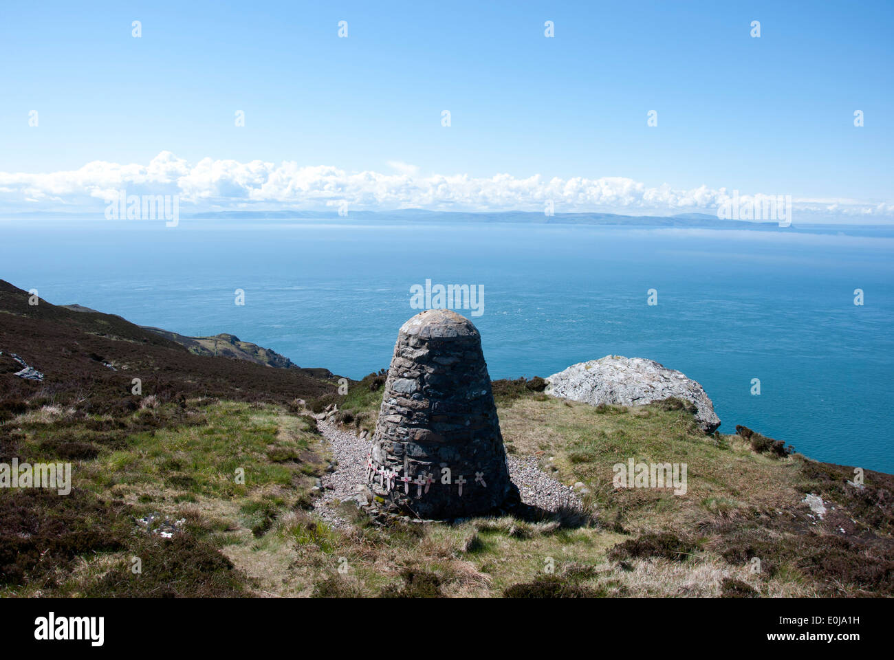
Add your own picture and explain the route, parking, gates, paths or landmarks that help people find it.
Earn 5 points after the picture is checked and accepted.
Add your photo and local directionsShare what you foundWhat is recorded here
Described by Quinn and Carroll (2010) as ‘a cairn (pre-bog). Short length of stone cairn protruding from beneath a section of bog to the S of an existing trackway. Exposed possibly during construction of trackway. Located to S of Walls (3, 4 and 6). Orientated E/W. Visible as low mound of stone protruding from under bog section. Length 2.97m, Width 0.4m, Height 0.25m.'
Quinn, A and Carroll, M (2010) ‘Archaeological, Architectural and Cultural Heritage Assessment for a Proposed Wind Farm at Doonens Co. Cork’, Unpublished report, Tobar Archaeological Services.
Compiled by: Denis Power
Date of upload: 21 August 2013
The monument record does not grant public access. Check the route and ask the landowner before entering private land.