Add your own picture and explain the route, parking, gates, paths or landmarks that help people find it.
Earn 5 points after the picture is checked and accepted.
Add your photo and local directionsShare what you foundWhat is recorded here
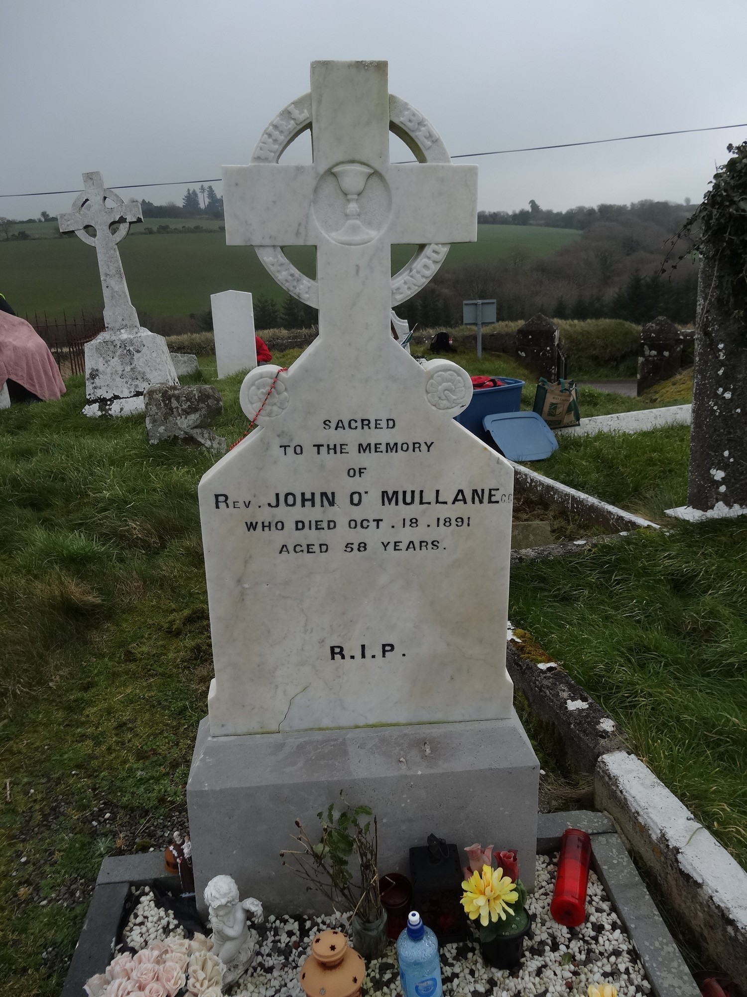
On top of a low hill, approached by laneway from N; roughly circular graveyard (diam. c. 60m), still in occasional use. Earliest headstones date from 1720s; headstone dated 1724 decorated with earliest recorded 'Heart motif' in Imokilly, another dated 1733 bears earliest recorded 'Whirls' in same area (O'Shea 1988, 70 & 75). No visible surface remains of Kilmacdonagh parish church (CO078-004002-), shown as rectangular structure on 1842 OS 6-inch map, but marked 'site of' on later editions of map; it was in ruins by 1615 (Brady 1863, vol. 2, 268).
The above description is derived from the published 'Archaeological Inventory of County Cork. Volume 2: East and South Cork' (Dublin: Stationery Office, 1994). In certain instances the entries have been revised and updated in the light of recent research.
Date of upload/revision: 14 January 2009
The monument record does not grant public access. Check the route and ask the landowner before entering private land.