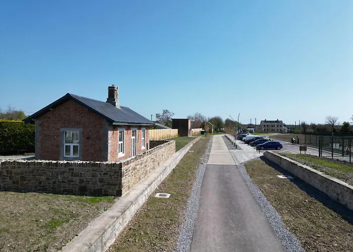
Add your own picture and explain the route, parking, gates, paths or landmarks that help people find it.
Earn 5 points after the picture is checked and accepted.
Add your photo and local directionsShare what you foundWhat is recorded here
In 2002 a small circular opening appeared in the surface of the W side of a road which connects the main Midleton-Youghal road with the Midleton-Dongourney road. This opening allowed access into a stone-built souterrain that was investigated in 2002. The souterrain consists of a short straight passage (7.27m E-W; 0.97m N-S; H 0.52-0.95m) with drystone walls and roofed with lintels which lies 0.2m under the road. The collapse of one of the roof lintels, towards the centre of the passage, led to the subsidence on the road surface. The W end of the passage is a dead end while at the E end the walls and roof have collapsed impeding any further investigation. The digging of a deep roadside drain in the past may have resulted in this collapse. Following investigation, the displaced capstone was removed and precast concrete lintels were placed over the opening. A cast in situ concrete slab was then placed over the lintels and the road surface was reinstated. (McCarthy 2002b)
The above description is derived from 'The Archaeological Inventory of County Cork. Volume 5' (Dublin: Stationery Office, 2009).
Date of upload: 22 December 2009
The monument record does not grant public access. Check the route and ask the landowner before entering private land.