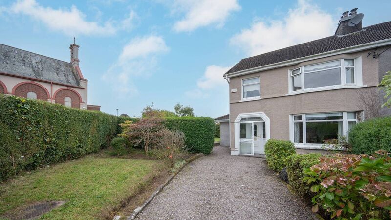
Add your own picture and explain the route, parking, gates, paths or landmarks that help people find it.
Earn 5 points after the picture is checked and accepted.
Add your photo and local directionsShare what you foundWhat is recorded here
On N side of Douglas river estuary. According to Coleman (1945, 62-3) 'an early vertical weathered face of clay and stones some 15 feet from high-water level shows a layer of shells, bones, etc., extending horizontally for about 6 feet, and 12 ins above the shore level. Over the layer is 3 feet of sandy clay and stones'. Layer was composed of opened shells, ox and pig bones. Fragments of modern pottery and glass were also found. Coleman concluded that the midden was 18th or early 19th century in date. Site now in Mahon golf course; no visible surface trace.
The above description is derived from the published 'Archaeological Inventory of County Cork. Volume 2: East and South Cork' (Dublin: Stationery Office, 1994). In certain instances the entries have been revised and updated in the light of recent research.
Date of upload/revision: 14 January 2009
The monument record does not grant public access. Check the route and ask the landowner before entering private land.