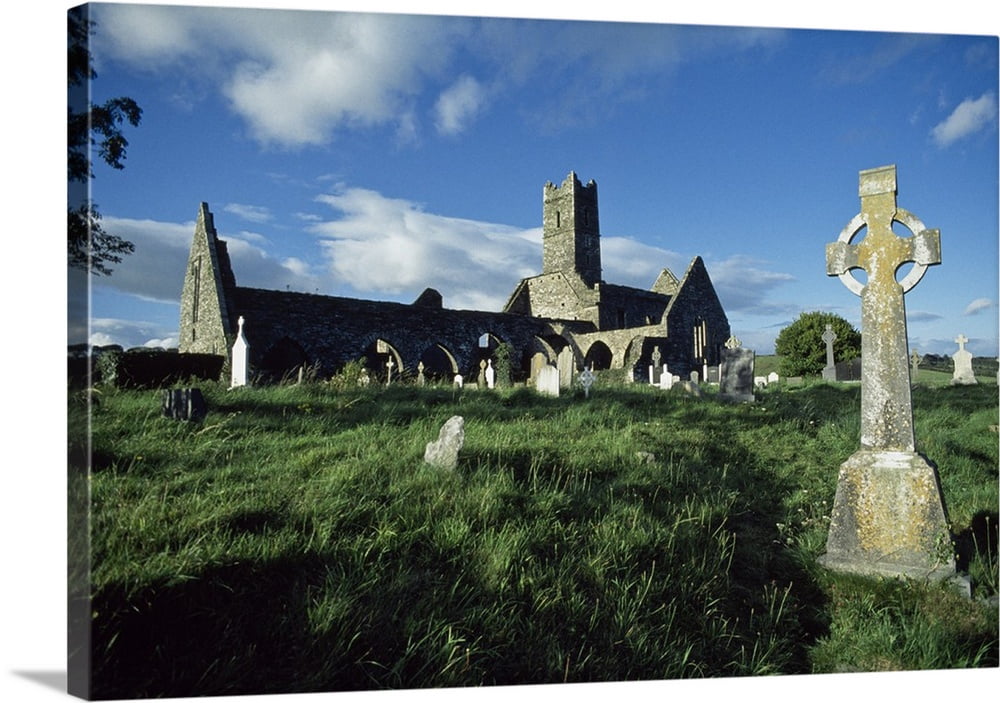
Add your own picture and explain the route, parking, gates, paths or landmarks that help people find it.
Earn 5 points after the picture is checked and accepted.
Add your photo and local directionsShare what you foundWhat is recorded here
Foundation date uncertain; Annals of Four Masters record foundation of 'monastery of St. Francis at Cork' by Diarmait MacCarthaig in 1229 (Bradley et al. 1985, 87). Extent of friary cleary outlined in confirmation grant by Philip Prendergast c. 1300 as land between burgesses of Shandon (possibly Shandon Street) and holy well (CO074-074---), and between rock cliff to N and River Lee to S. Hardiman map (c. 1601) and Philips' map (1685) show church located on N bank of river near bend in Lee where St. Vincent's Bridge (foot bridge) now stands. New church built in 1700, but not where former stood. Burials found during construction of houses on North Mall, in 1804; fragment of double ogee-headed window surround built into wall at Wise's Hill.
The above description is derived from the published 'Archaeological Inventory of County Cork. Volume 2: East and South Cork' (Dublin: Stationery Office, 1994). In certain instances the entries have been revised and updated in the light of recent research.
Date of upload/revision: 14 January 2009
The monument record does not grant public access. Check the route and ask the landowner before entering private land.