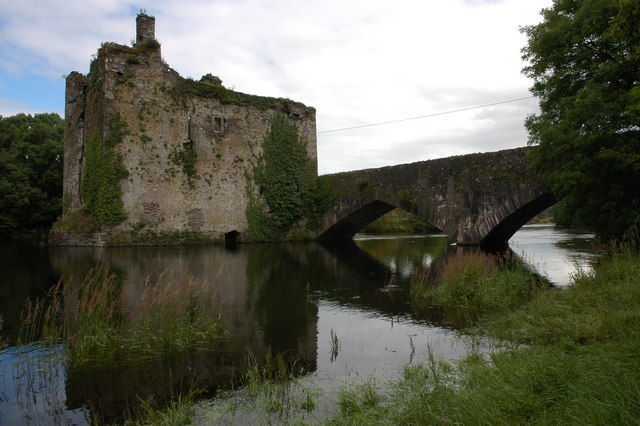
Add your own picture and explain the route, parking, gates, paths or landmarks that help people find it.
Earn 5 points after the picture is checked and accepted.
Add your photo and local directionsShare what you foundWhat is recorded here
In tillage, atop hillock; field known as 'lios field' though no visible surface trace of ringfort. Investigated in 1930 and fragment of rotary quern found (NMI). Revisited May 1991 following further collapse. Three earth-cut chambers joined by creepways. Chamber 1: irregular in shape (L 3.4m; Wth 1.4m; H 0.55m; long axis NW-SE) expanding into small annexe along SW wall. Original entrance at SE end composed of stone lintel supported by orthostat on N side and stone walling on S side; fallen stones obscure construction shaft to W of chamber; creepway at NW end to SE corner of chamber 2. Chamber 2: roughly oval-shaped (L 3.9m; Wth 1.94m; H 1.05m; long axis NE-SW); blocked construction shaft at SW end; creepway to W, to E side of chamber 3. Chamber 3: oval-shaped (L 4m; Wth 1.95m; H 1.2m; long axis N-S); recent collapse at S end.
The above description is derived from the published 'Archaeological Inventory of County Cork. Volume 3: Mid Cork' (Dublin: Stationery Office, 1997). In certain instances the entries have been revised and updated in the light of recent research.
Date of upload/revision: 14 January 2009
The monument record does not grant public access. Check the route and ask the landowner before entering private land.