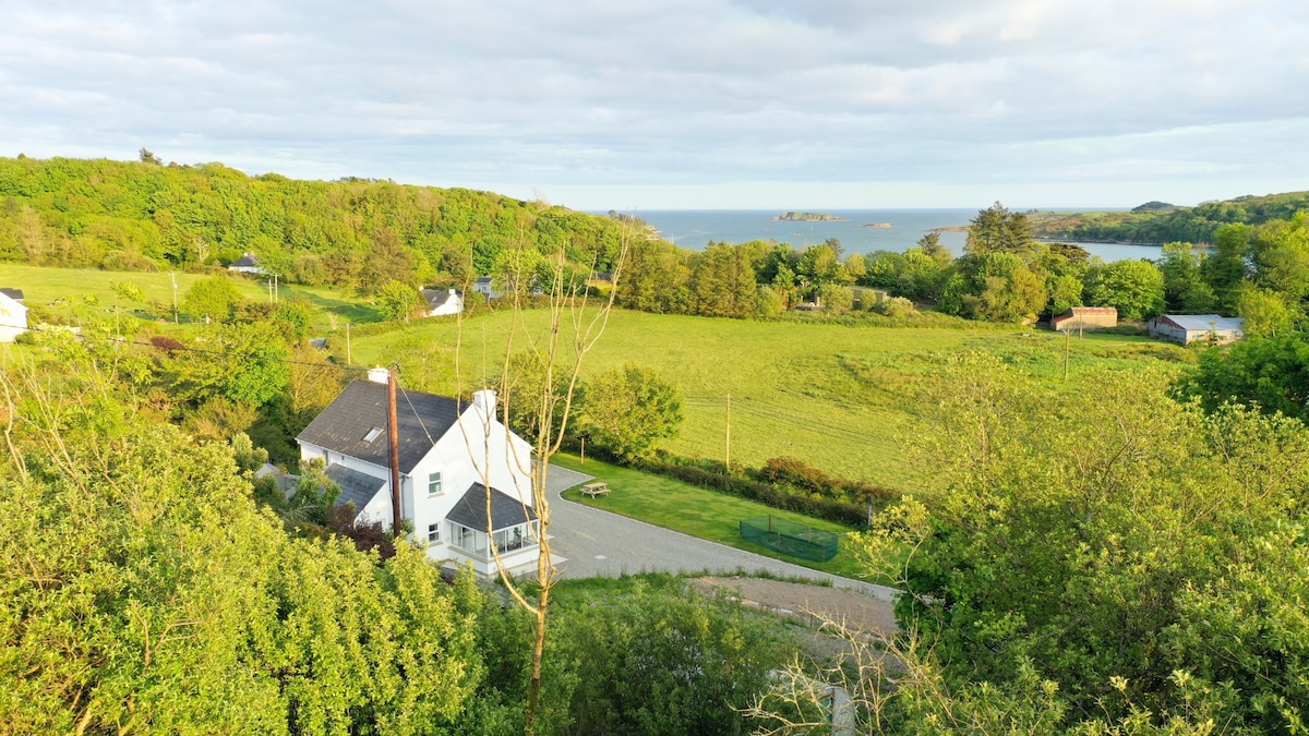
Add your own picture and explain the route, parking, gates, paths or landmarks that help people find it.
Earn 5 points after the picture is checked and accepted.
Add your photo and local directionsShare what you foundWhat is recorded here
On the N side of a stream valley where the valley floor begins to rise. A rectangular enclosure (c. 40m E-W; 35m N-S) with rounded corners and defined by a fosse, was partially excavated in advance of the construction of the N25 Youghal Bypass in 2001. The fosse is U-shaped (Wth c. 3m; D 1.75) on the S side where the enclosure sits on the valley floor and is V-shaped (Wth c. 2.5m; D 3m) where the ground rises to the N. It widens to a maximum of 5m on the W side. Evidence from the fill of the fosse suggests that it silted up over a long period of time initially with the upper layers possibly deliberately backfilled. Two structures, one circular (CO067-086001-) and the other rectangular (CO067-086002-) were excavated in the SW part of the interior. Two souterrains (CO067-086003-, CO067-086004-) were located in the interior, one in the W half and the other in the E. Two corn-drying kilns (CO067-086005-, CO067-086006-) and a small box furnace (CO067-086007-) were also excavated within the enclosure. A radiocarbon date from the enclosing fosse produced a 'cal. AD 420-670 (cal. BP 1530-1280)' date suggesting an Early Christian period date for the enclosure (Noonan 2003e, 30). Sometime in the 7th century the enclosure was extended by the construction of a second enclosure (CO067-087----) immediately to the N. (Noonan 2003e, 29-30; Noonan et al. 2004).
The above description is derived from 'The Archaeological Inventory of County Cork. Volume 5' (Dublin: Stationery Office, 2009).
Date of upload: 22 December 2009
The monument record does not grant public access. Check the route and ask the landowner before entering private land.