Add your own picture and explain the route, parking, gates, paths or landmarks that help people find it.
Earn 5 points after the picture is checked and accepted.
Add your photo and local directionsShare what you foundWhat is recorded here
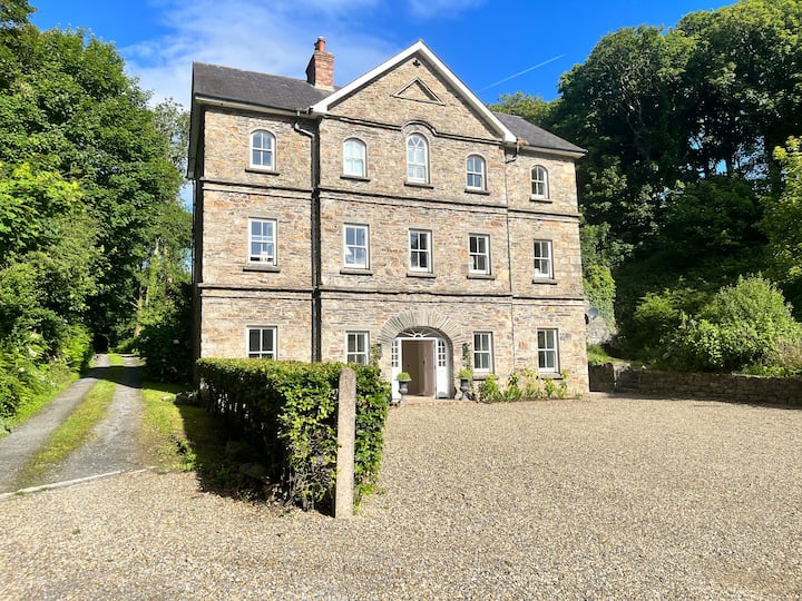
In reclaimed pasture, at the foot of a steep slope. A mill is shown on the 1842 (check) OS 6-inch map in this location and named 'Mill in Ruins'. However, an inspection of the area in 2002 failed to find any evidence of a structure or loose masonry in the area, and the date of the mill could not be determined.
The monument record does not grant public access. Check the route and ask the landowner before entering private land.