Add your own picture and explain the route, parking, gates, paths or landmarks that help people find it.
Earn 5 points after the picture is checked and accepted.
Add your photo and local directionsShare what you foundWhat is recorded here
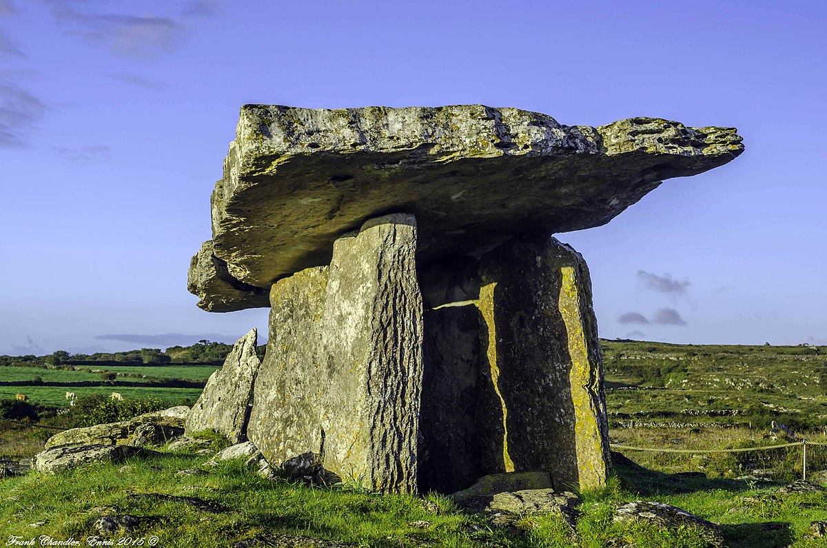
On flat tract of land between two hillocks, c. 750m S of summit of Burren Hill, overlooking River Laney valley to W. Comprises well-preserved gallery (L 4.6m; Wth 1.4m at W end, narrowing to E) aligned ENE-WSW, represented by three sidestones to N, five to S and backstone outside gallery walls at E end. Closely set outer walling along N and S sides. Gallery partially covered by two overlapping roofstones; interior filled with field clearance material. Surrounded by low mound. Wedge-tomb (CO060-115----) stands 450m to WSW. 'Cup marks on capstone' (Finlay 1973, 168). (de Valera and O Nualláin 1982, 14-5, Co. 19)
The above description is derived from the published 'Archaeological Inventory of County Cork. Volume 3: Mid Cork' (Dublin: Stationery Office, 1997). In certain instances the entries have been revised and updated in the light of recent research.
Date of upload/revision: 14 January 2009
See linked document with details from Ruaidhrí de Valera and Seán Ó Nualláin, Survey of the Megalithic Tombs of Ireland. Volume IV. Counties Cork, Kerry, Limerick, Tipperary. (Dublin: Stationery Office, 1982)
The monument record does not grant public access. Check the route and ask the landowner before entering private land.