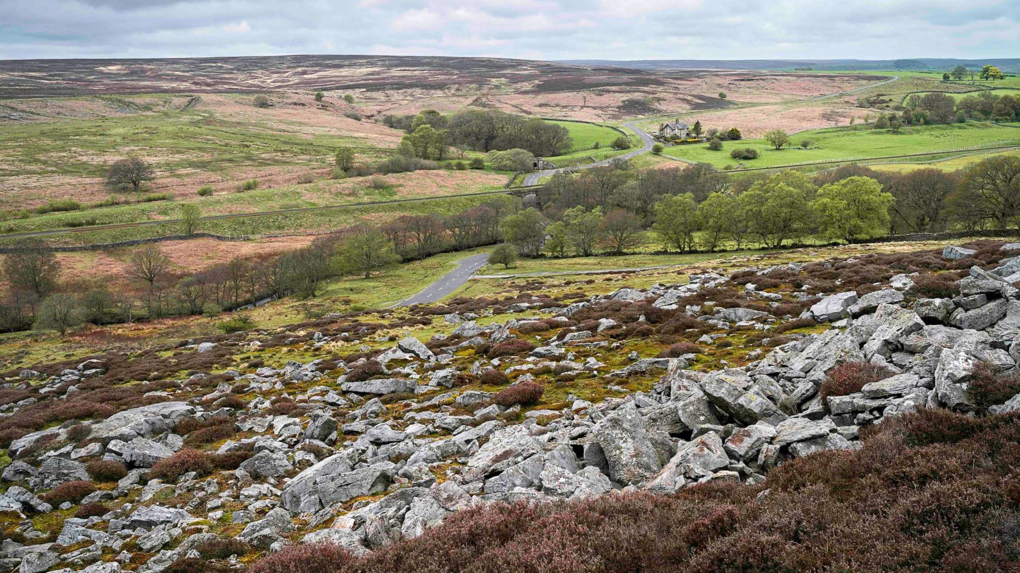
Add your own picture and explain the route, parking, gates, paths or landmarks that help people find it.
Earn 5 points after the picture is checked and accepted.
Add your photo and local directionsShare what you foundWhat is recorded here
This site was identified during afforestation, but did not appear to have been damaged by these works. It presented as a raised, dry area in the northeastern corner of a rush-covered field that slopes gradually to the south. Two small patches of burnt mound material were exposed immediately under the sod. These comprised charcoal-rich soil with frequent burnt/heat-affected stone typically associated with sites of this kind. The site measured 30m east-west by 25m north-south.
Compiled by: Melanie McQuade, Archaeologist, Forest Service.
Date of upload: 22 June 2015
The monument record does not grant public access. Check the route and ask the landowner before entering private land.