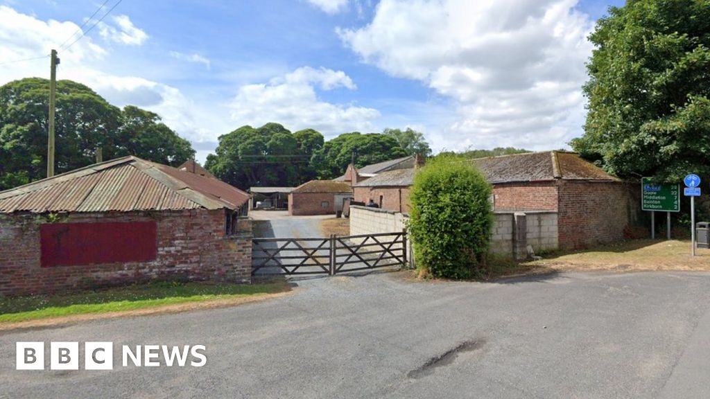
Add your own picture and explain the route, parking, gates, paths or landmarks that help people find it.
Earn 5 points after the picture is checked and accepted.
Add your photo and local directionsShare what you foundWhat is recorded here
On low river terrace on N bank of Bride river, c. 300m SW of site of Carrigeen Hall. Settlement named 'The Banckes' marked on Walter Ralegh's Mogeely map of 1598, depicted as 3-4 'English type' houses; curvilinear boundary suggested to E of site with gateway into lane leading E to road. Excavations 1992 by Franc Myles for Dr. Eric Klingelhofer revealed ditch (Wth 1.5m; D 0.5m) to E, curving to N and NE; all other archaeological activity in trench confined within ditch to W. Second trench to W exposed rectangular structure (int. L 11m NW-SE) defined by probable robber trenches for walls, fine internal cobbling. Divided in two (int. L NW rood mm 5.2m) by cross trench with gap (Wth 0.6m); central slot (NW-SE) in cobbling or NW room possibly housed wall plate for timber partition. Three pits parallel to and to S of slot too shallow to hold structural posts (Wth 0.6m; D 0.2m). Roughly cobbling external to structure to E. No dating material found but features probably of Plantation period. Further excavations planned for 1993.
See Excavations 1992, 6-7; Excavations 1994, 10
The above description is derived from the published 'Archaeological Inventory of County Cork. Volume 2: East and South Cork' (Dublin: Stationery Office, 1994). In certain instances the entries have been revised and updated in the light of recent research.
Date of upload/revision: 14 January 2009
The monument record does not grant public access. Check the route and ask the landowner before entering private land.