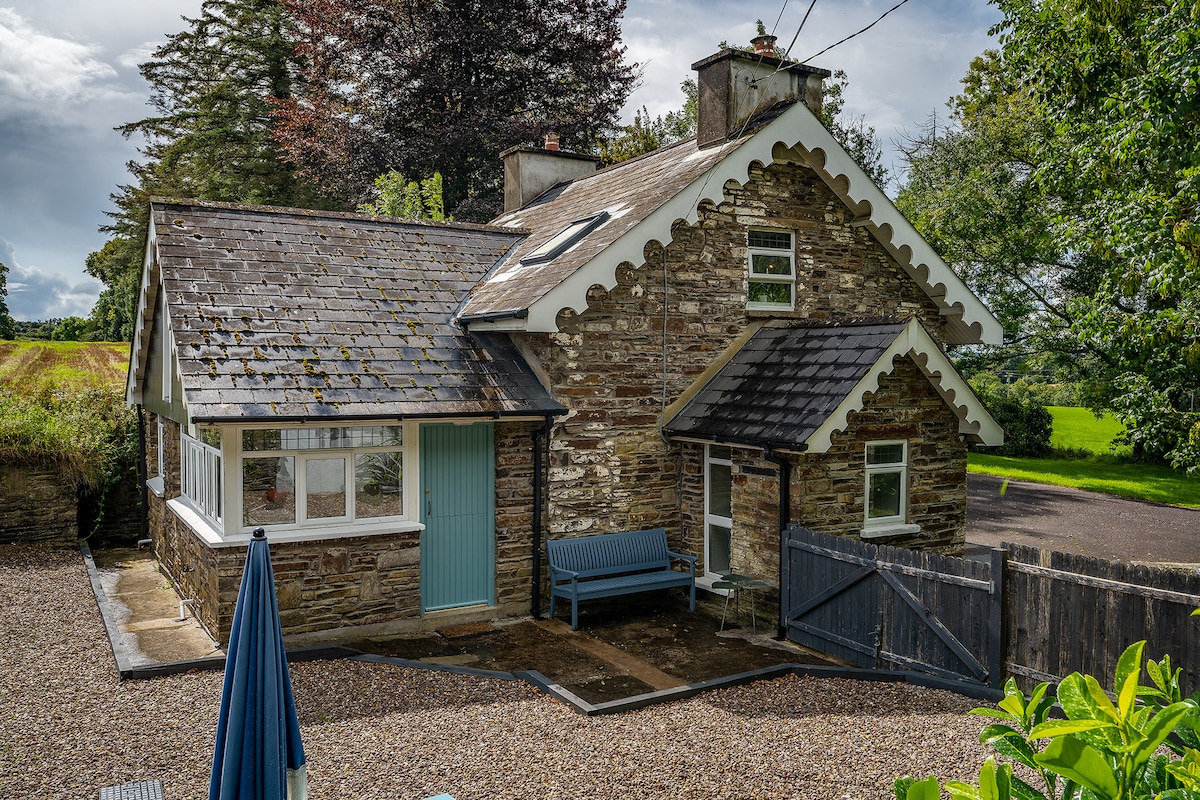
Add your own picture and explain the route, parking, gates, paths or landmarks that help people find it.
Earn 5 points after the picture is checked and accepted.
Add your photo and local directionsShare what you foundWhat is recorded here
Within the historic town (CO027-042005-) of Glanworth, to the SW of 'Rock Abbey' (CO027-040----). Excavation in advance of a housing development in Boherash townland in 2004 revealed the remains of a circular hut site (diam. 6m) which was defined by a slot trench (Wth max. 0.6m; D 0.15m) at the base of which thirteen post- and stake-holes were visible. The post- and stake-holes represented the structural uprights of the building. The slot trench was cut through along the E arc by a linear ditch-like feature (CO027-202----). The entrance was represented by a break (Wth c. 0.8m) in the S circuit of the hut site and a substantial post-hole at its E side may indicate a jamb post for a door. Clusters of internal stake-holes within the interior of the hut site may have been vestiges of internal fittings. A radiocarbon date of 1300-1365 cal. AD (605±35BP) was returned from charred wheat, barley and oat cereals recovered from one of the stake-holes driven into the slot trench. Another excavated hut site (CO027-201----), which probably dates to the medieval period, is c. 25m to the SE. (Cleary 2006a; Cleary 2007)
The above description is derived from 'The Archaeological Inventory of County Cork. Volume 5' (Dublin: Stationery Office, 2009).
Date of upload: 22 December 2009
The monument record does not grant public access. Check the route and ask the landowner before entering private land.