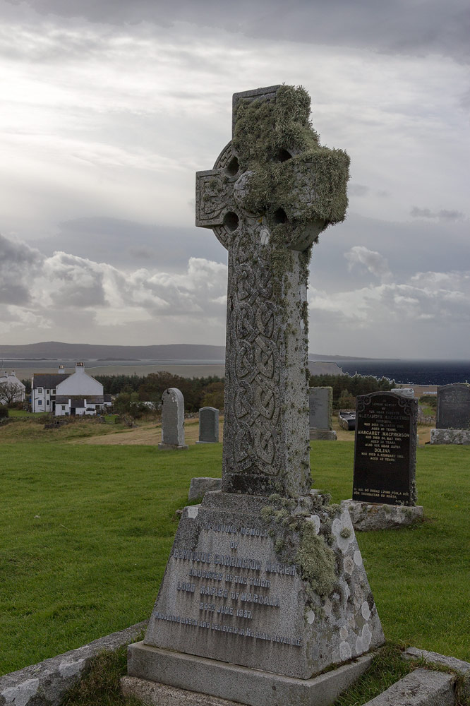
Add your own picture and explain the route, parking, gates, paths or landmarks that help people find it.
Earn 5 points after the picture is checked and accepted.
Add your photo and local directionsShare what you foundWhat is recorded here
On N side of road. Rectangular graveyard (c. 60m E-W; c. 40m N-S) enclosed by stone-faced earthen bank to N and W, small section of W boundary is stone-walled with pedestrian gate leading to nearby rectory; E boundary removed to facilitate recent extension of burial area; random-rubble stone wall to S contains arched gateway with inscribed plaque bearing date 'A.D. 1817'. Boundary is tree-lined and interior somewhat overgrown. Ruin of C of I parish church of Castlemagner (14709) and fragment of earlier church (14405) in N half. Contains numerous headstones and burial vaults, the earliest noted dating from early 18th-century.
The above description is derived from the published 'Archaeological Inventory of County Cork. Volume 4: North Cork' (Dublin: Stationery Office, 2000). In certain instances the entries have been revised and updated in the light of recent research.
Date of upload/revision: 14 January 2009
The monument record does not grant public access. Check the route and ask the landowner before entering private land.