Add your own picture and explain the route, parking, gates, paths or landmarks that help people find it.
Earn 5 points after the picture is checked and accepted.
Add your photo and local directionsShare what you foundWhat is recorded here
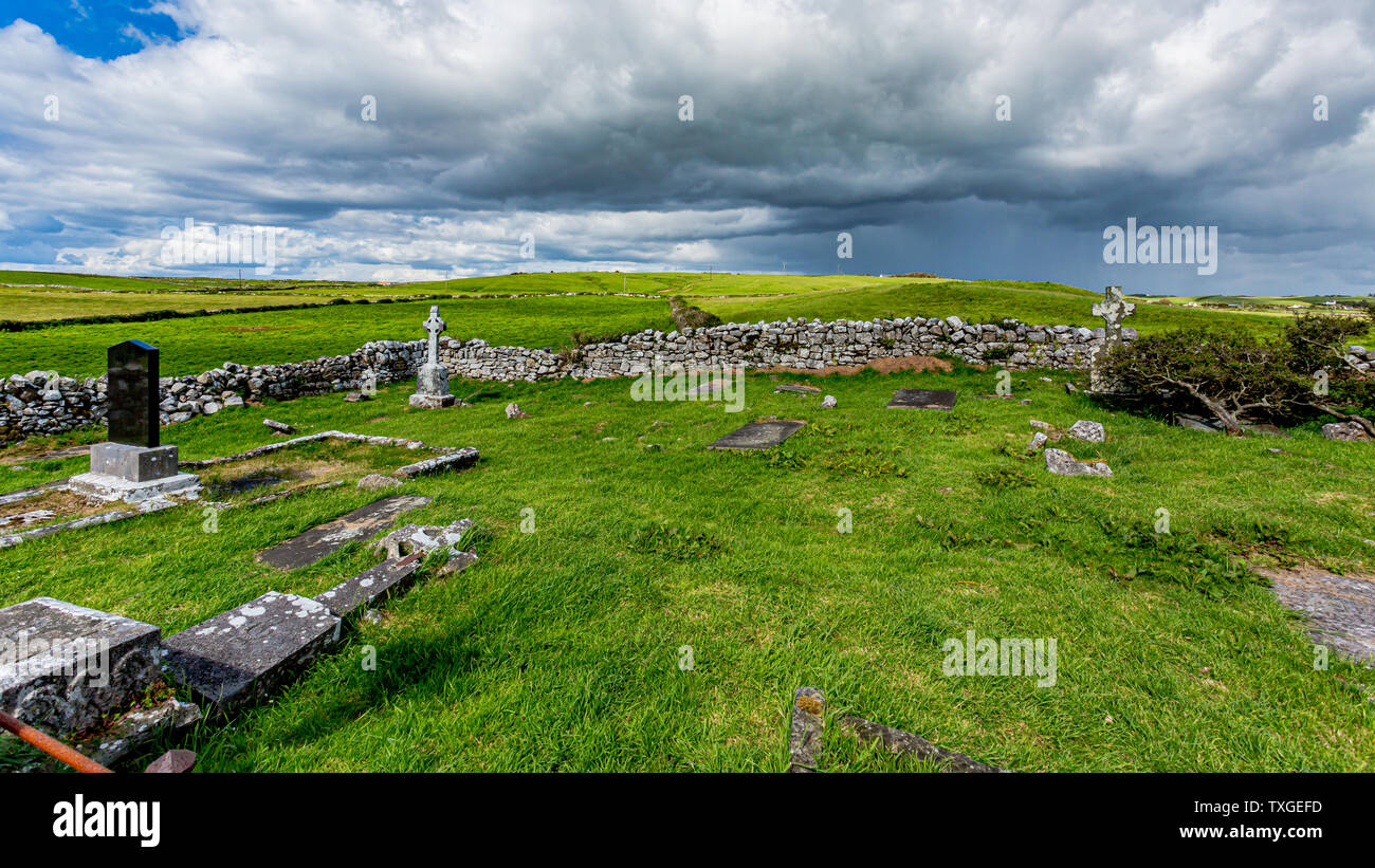
Shown on 1842 OS 6-inch map as hachured oval enclosure truncated by lane on SW side; shown on 1905 and 1937 OS 6-inch maps as arc of broken line NNW->S with straight field fences on SW and NW sides, marked 'disused'. In pasture, on NW-facing slope. Oval area (23m NE-SW; 21m NW-SE) enclosed by low earthen bank (H 0.1m int.; 0.75m ext.). Outer face of bank cut by field fence to SW. Interior slopes slightly downhill to NW. No visible surface trace of burials. O'Mullane (1978-9, 38) refers to it as a 'fort, Cillin Una, in Ned Doherty's farm' which was 'also a burial ground.' According to local information, three men lost by O'Sullivan Bear while crossing the River Allow are buried here (pers. comm. R. O'Sullivan). Holy well (13937) c. 10m to NE.
The above description is derived from the published 'Archaeological Inventory of County Cork. Volume 4: North Cork' (Dublin: Stationery Office, 2000). In certain instances the entries have been revised and updated in the light of recent research.
Date of upload/revision: 14 January 2009
The monument record does not grant public access. Check the route and ask the landowner before entering private land.