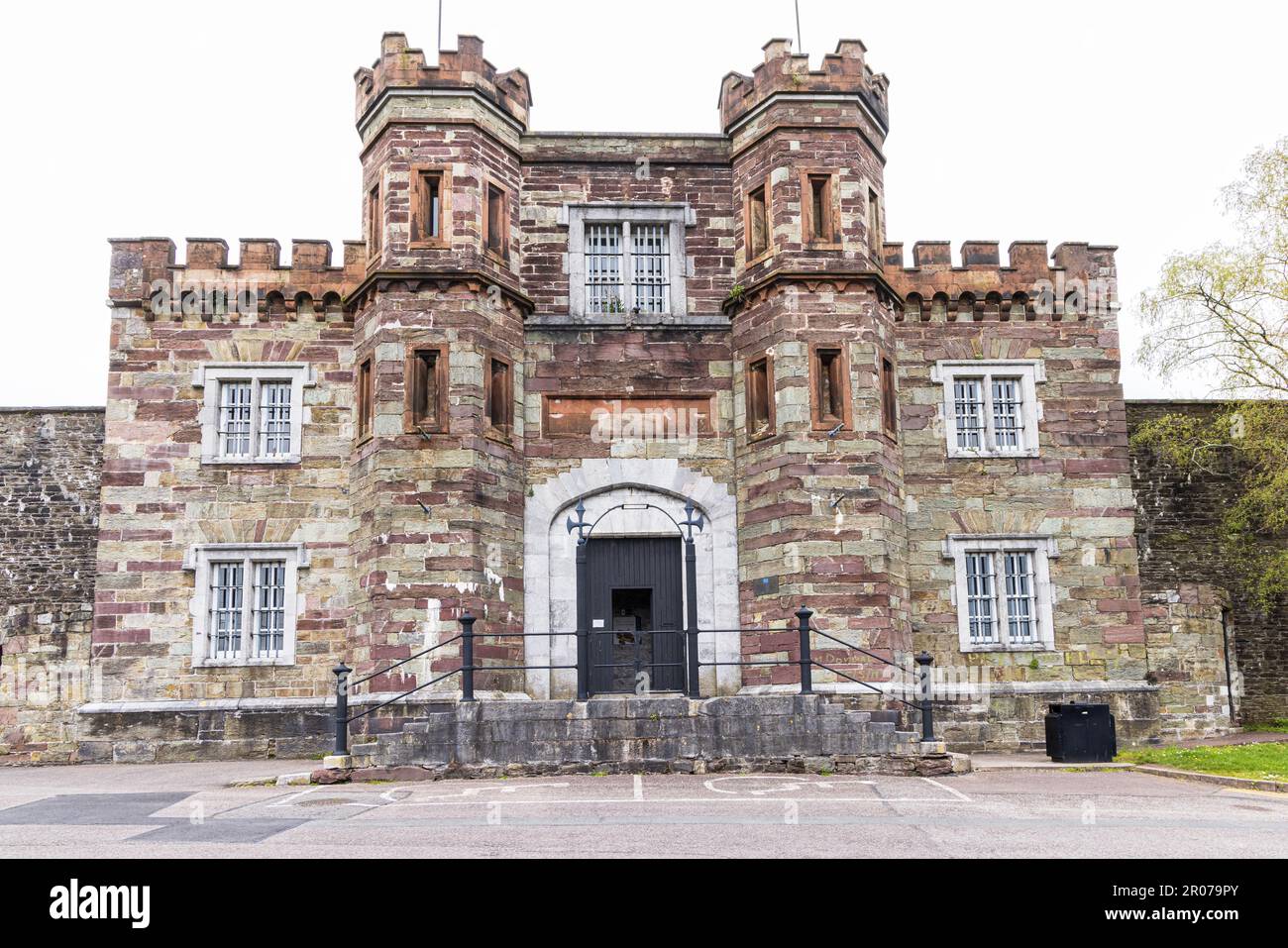
Add your own picture and explain the route, parking, gates, paths or landmarks that help people find it.
Earn 5 points after the picture is checked and accepted.
Add your photo and local directionsShare what you foundWhat is recorded here
In Meelin. On 1842 OS 6-inch map indicated as ruined rectangular structure (c. 15m NW-SE; c. 5m NE-SW) with projection at SE end of SW side making overall plan L-shaped. No visible surface trace; residential house now on site. According to Bowman (1934, 127), house 'is built on most of the site - one of the walls, now plastered, forms part of the wall of an out-office'; wall no longer survives. Field known as 'Pairc na Cille'; according to local tradition, chapel was thatched and because church was too small, mass was said in field on S side of road (ibid.). Chapel replaced by present rectangular Church (long axis N-S) located c. 200m to SE, which is also shown on 1842 OS 6-inch map.
The above description is derived from the published 'Archaeological Inventory of County Cork. Volume 4: North Cork' (Dublin: Stationery Office, 2000). In certain instances the entries have been revised and updated in the light of recent research.
Date of upload/revision: 14 January 2009
The monument record does not grant public access. Check the route and ask the landowner before entering private land.