Add your own picture and explain the route, parking, gates, paths or landmarks that help people find it.
Earn 5 points after the picture is checked and accepted.
Add your photo and local directionsShare what you foundWhat is recorded here
On S bank of Funshion River. Partial remains of long 2-storey rectangular mill (long axis SW-NE). Shallow earth-cut millrace flows through centre of building from NW to SE, tall arched opening (now blocked) in SE wall over millrace. Foundation stones for machinery at NE end of building. Two-storey addition to SW with corrugated iron gable-ended roof. Three additions project from full length of SE wall of mill. At NE end is square 2-storey structure (5.85m x 5.9m) of rubble limestone construction with ashlar quoins, 1st floor raised with sandstone rubble; wide ground-floor door in centre of SE elevation, under 1st-floor window; hipped roof with central valley. At SW end is a long 2-storey, gable-ended structure; chimney on gable. Inserted between these two, and in line with NE addition, is a broad gable-ended, 2-storey structure; arched opening (now blocked) low down on SE elevation, probably covered tail race; door ope off-centre at SW end; lintelled window opes; chimney atop gable. Roofs of three projections are hipped at NW end.
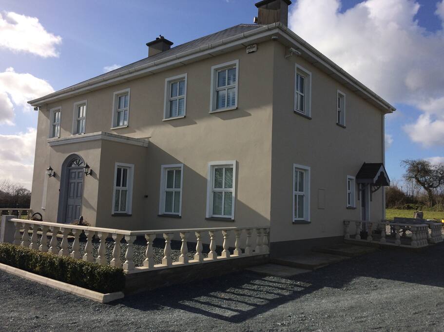
Two stone-built outbuildings to SE, on NW edge of field (230m NE-SW; 110m NW-SE) which is named 'bleach green' on 1842 OS 6-inch map; also shown on map is 'watch house', which no longer survives. Residential house SW of mill is mid-/late-19th-century in appearance: front elevation (SW) of 3 bays, 2-storey, with brick surrounds to camber-headed window opes; central porch; chimneys on gable ends; 1-storey addition to rear replaced earlier addition.
Indicated on 1842 OS 6-inch map as 'Bleach Mill and Woollen Factory', house shown but not named; map also shows millstream taken from river almost 2km to NE and fed into NE end of mill. Mill complex indicated on 1936 OS 6-inch map and named 'Ballyderrif House'. Lewis (1837, vol. 2, 373) describes this as 'an extensive bleach-green with flax and tucking mills, and machinery for carding and spinning wool, to which a power-loom for the manufacture of blankets has been lately added by the proprietors, Messrs. J. and F. Atkins'.
The above description is derived from the published 'Archaeological Inventory of County Cork. Volume 4: North Cork' (Dublin: Stationery Office, 2000). In certain instances the entries have been revised and updated in the light of recent research.
Date of upload/revision: 14 January 2009
The monument record does not grant public access. Check the route and ask the landowner before entering private land.