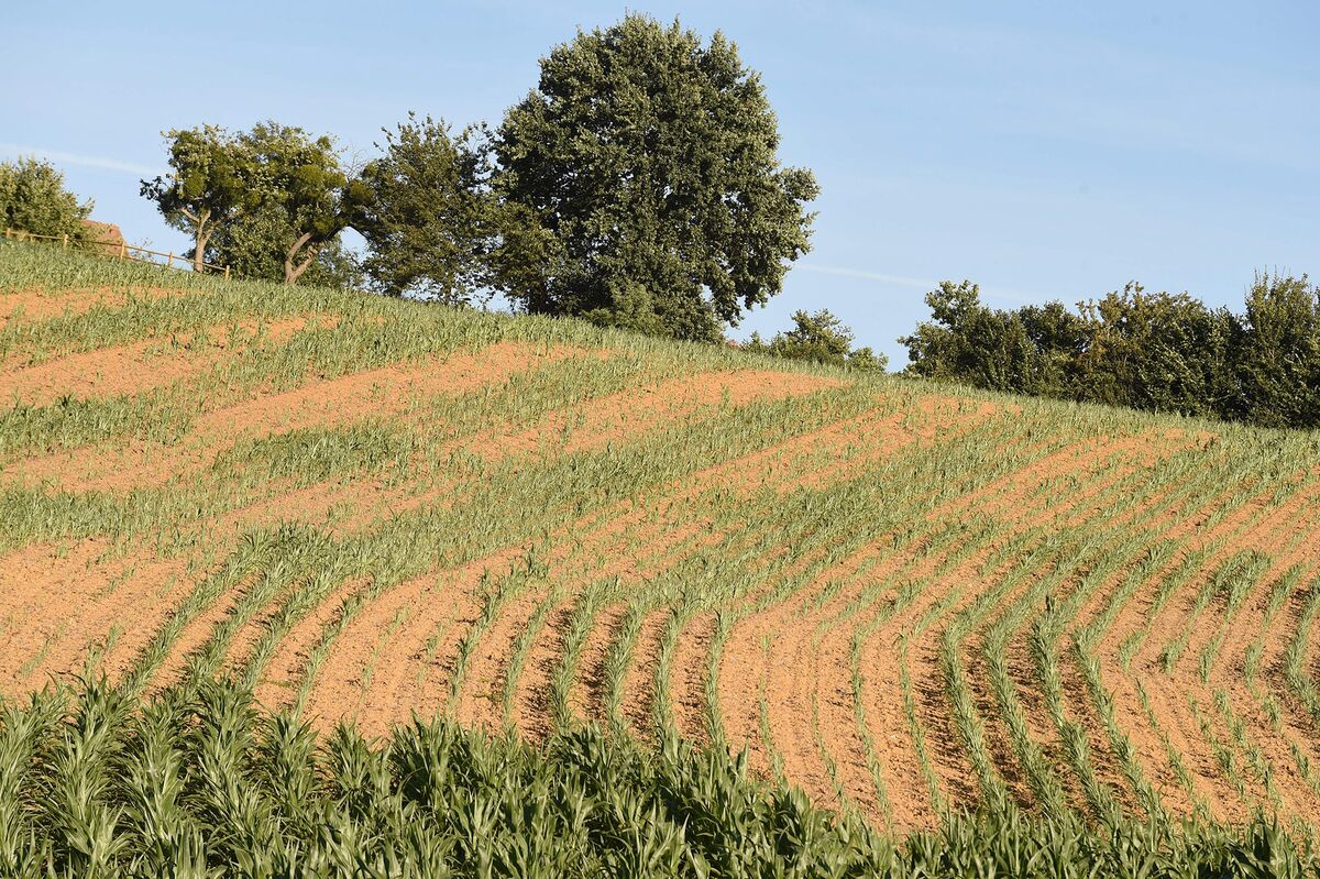
Add your own picture and explain the route, parking, gates, paths or landmarks that help people find it.
Earn 5 points after the picture is checked and accepted.
Add your photo and local directionsShare what you foundWhat is recorded here
A brown/black stony spread (11.2m E-W; min. 8.2m N-S; max. D 0.03m) was discovered in 2008 during archaeological testing in advance of the development of a single dwelling. This material was encountered in two test-trenches, which were at right angles to each other, and while its full E-W extent was determined, its N-S limit was not established. It was recommended that the burnt spread be preserved in situ. This burnt spread lies c. 38m S of a fulacht fia (CO007-173----) and c. 60m S of a rath (CO007-013002-). Another fulacht fia (CO007-013001-) lies c. 120m to the NNW. (Quinn 2008, 1-8)
The above description is derived from 'The Archaeological Inventory of County Cork. Volume 5' (Dublin: Stationery Office, 2009).
Date of upload: 22 December 2009
The monument record does not grant public access. Check the route and ask the landowner before entering private land.