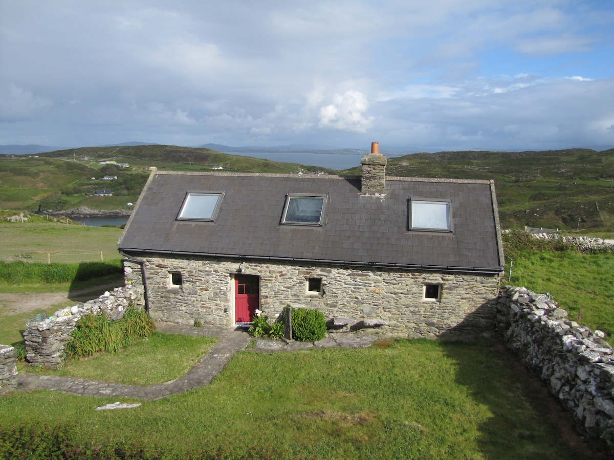
Add your own picture and explain the route, parking, gates, paths or landmarks that help people find it.
Earn 5 points after the picture is checked and accepted.
Add your photo and local directionsShare what you foundWhat is recorded here
Depicted as hachured rectangular raised area on 1842, 1905 and 1936 OS 6-inch maps. In level rough grazing. Levelled; rectangular area (48m ENE-WSW; 37.5m NNW-SSE) defined to N by slight scarp, to E by levelled bank visible as differential growth pattern (Wth 5m) with slight internal lip (H 0.2m), to S by townland/field boundary with drainage ditch to outside; depression which delimits W side may be associated with septic tank located immediately outside NW corner. Interior level and under long grass with some reeds growing near E side.
The above description is derived from the published 'Archaeological Inventory of County Cork. Volume 4: North Cork' (Dublin: Stationery Office, 2000). In certain instances the entries have been revised and updated in the light of recent research.
Date of upload/revision: 14 January 2009
The monument record does not grant public access. Check the route and ask the landowner before entering private land.