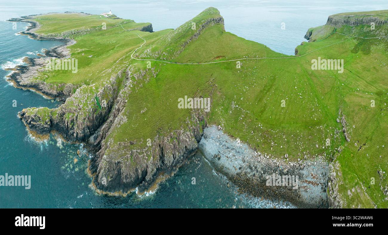
Add your own picture and explain the route, parking, gates, paths or landmarks that help people find it.
Earn 5 points after the picture is checked and accepted.
Add your photo and local directionsShare what you foundWhat is recorded here
Situated c. 13km NE from Loop Head in an area of undulating poor quality grassland and bog. A small triangular area (c. 30m NE-SW x 23m NW-SE) is all grass cover that remains on a detached island (c. 200m x 80m). Traces of an earthen bank extending along the cliff-edge in this grassy area can be seen on aerial photographs and may be the remains of a promontory fort. The island is inaccessible. (Casey 1999, 217, Clare P10)
Compiled by: Mary Tunney
Date of upload: 21 September 2016
The monument record does not grant public access. Check the route and ask the landowner before entering private land.