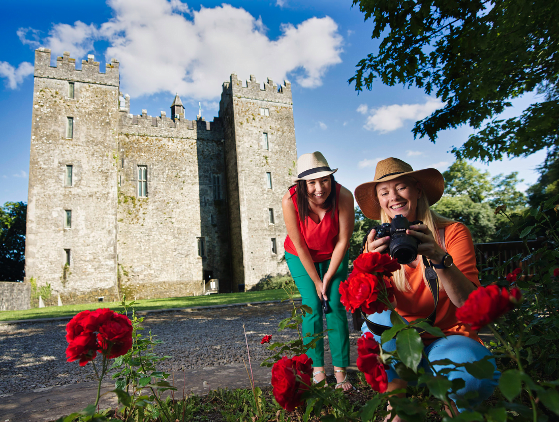
Add your own picture and explain the route, parking, gates, paths or landmarks that help people find it.
Earn 5 points after the picture is checked and accepted.
Add your photo and local directionsShare what you foundWhat is recorded here
The 14th century Caithréim Thoirdhealbhaigh refers to the borough of Bunratty being defended by ‘broad-based high-crested ramparts, running from the stream to the sea’ (Bradley 1988, 22). Monitoring of foundation trenches for an extension to the Shannon Shamrock Hotel in 1991 (O’Rahilly 1992) showed evidence for a ditch (Wth 8.5m) extending E-W, filled and recut with finds dating it to the 13th/14th century. Test trenching (Wiggins 2000) in advance of a development of houses in the area revealed a substantial ditch (Wth greater than 8m, aligned E-W), likely part of the same ditch found by Celie O’Rahilly in 1991. Given its dimensions, the ditch must be considered part of the defences of the medieval borough of Bunratty (Wiggins 2000, 7-8). Some outer earthworks around Bunratty, planned by Westropp (1917, opp. p. 14) and traditionally interpreted as fortified ramparts for either 10th-century Viking or 13th-century Anglo-Norman settlements, have been shown to be 17th century in date (Bradley and King 1991). Historical and cartographic sources indicate that reclamation banks were in place by the mid-seventeenth century, built to protect the low-lying lands around Bunratty from high spring tide flooding (O’Sullivan (2001, 52).
Compiled by: Mary Tunney
Date of upload: 2 October 2019
The monument record does not grant public access. Check the route and ask the landowner before entering private land.