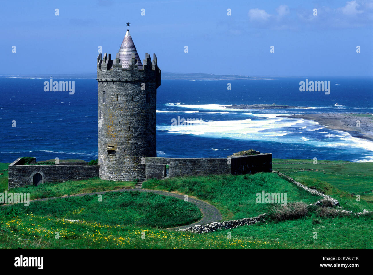
Add your own picture and explain the route, parking, gates, paths or landmarks that help people find it.
Earn 5 points after the picture is checked and accepted.
Add your photo and local directionsShare what you foundWhat is recorded here
In improved pasture, on a very gentle E-facing slope with rock outcrop close to the surface. Recorded by Westropp (1914-16, 65-66) as a small enclosure which he labelled ‘A’ on his map ‘Gorteen Group of Forts’. He describes it as ‘a house-ring, barely 50 feet across, with a thin wall, 6 feet or 7 feet thick, of coarse cragg stones’. Depicted on the 1921 edition of the OS 6-inch map as a subrectangular enclosure (c. 19.5m ENE-WSW; c. 15.5m NNW-SSE). Not visible at ground level. According to local information this land was improved during the 1960s/70s.
Compiled by: Mary Tunney, Alison McQueen and Vera Rahilly
Date of upload: 29 January 2018
The monument record does not grant public access. Check the route and ask the landowner before entering private land.