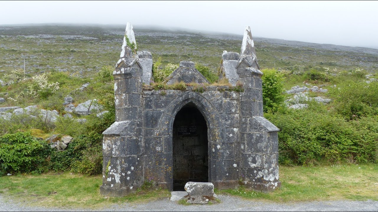
Add your own picture and explain the route, parking, gates, paths or landmarks that help people find it.
Earn 5 points after the picture is checked and accepted.
Add your photo and local directionsShare what you foundWhat is recorded here
On a very gentle SW-facing slope, located partially within rough pasture, natural woodland and rock outcrop to NW, planted native woodland to NE and the remainder is situated within what appears to be an area of recently planted native woodland. Depicted as an oval area (c. 42m NE-SW; c. 35m NW-SE) on the OS 25-inch map and the 1921 edition of the OS 6-inch map. The enclosing elements can be traced where there are the remains of a collapsed wall (int. H 0.25m; ext. H 0.45m; Wth at top 1.7m; overall Wth 3.5m) SW-W-NW. The collapsed drystone wall continues NW-N-NE, having a later field wall on top, as depicted on the OS 25-inch map. The enclosing elements are obscured by dense briars NE-SW where the enclosure and most of the interior appears to have been planted with trees in relatively recent times. Most of this area is engulfed in briars with trees growing up through these. The monument has been truncated by a townland boundary (long-axis NE-SW) across the WNW-sector.
The following images have been uploaded:
CL035-102----_01.jpg From NE. Cross sectional view of bank at NW.
CL035-102----_02.jpg From NW. Cross sectional view of later field wall on top of enclosure wall at NE.
CL035-102----_03.jpg From N. General view of monument from woodland context.
Compiled by: Mary Tunney, Alison McQueen and Vera Rahilly
Date of upload: 10 April 2018
The monument record does not grant public access. Check the route and ask the landowner before entering private land.