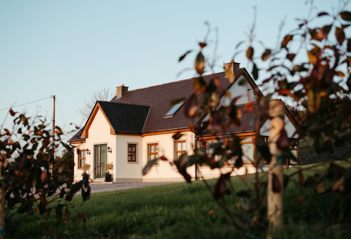
Add your own picture and explain the route, parking, gates, paths or landmarks that help people find it.
Earn 5 points after the picture is checked and accepted.
Add your photo and local directionsShare what you foundWhat is recorded here
In a generally level rear garden lawn of a modern two-storey house and directly overlooked by higher ground to SW. According to Westropp (1908-9, 385), this is a ‘levelled earthwork’. Depicted on the 1840 OS map as a subcircular enclosure and shown on the 25-inch OS map as a suboval area (c. 39m NW-SE; c. 36m NE-SW) abutting a modern settlement named Derrymore in both instances. Not visible at ground level. A perfectly manicured, generally level lawn which has a slight rise at SW, occupies the footprint of the enclosure. The area of the monument is currently enclosed by a drystone wall to part of SE boundary, SW, NW and N, corresponding to the boundaries shown on the 25-inch OS map. Earthen material and vegetation are banked up against the exterior of the wall at N. Archaeological testing (Licence no. 02E0173) at the site of the new house immediately E of this monument failed to produce archaeological material (Cleary 2004, 43, No. 160). This house replaced earlier buildings evident on the map at the same location. Two similar sized enclosures (CL035-054---- and CL035-056----) are 55m and 187m to the NE and E respectively.
Compiled by: Mary Tunney, Alison McQueen and Vera Rahilly
Date of upload: 20 June 2018
The monument record does not grant public access. Check the route and ask the landowner before entering private land.