Add your own picture and explain the route, parking, gates, paths or landmarks that help people find it.
Earn 5 points after the picture is checked and accepted.
Add your photo and local directionsShare what you foundWhat is recorded here
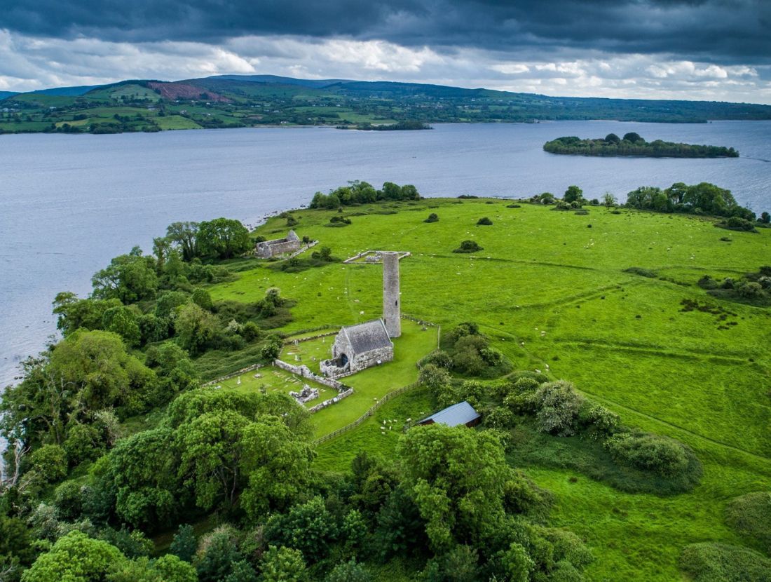
Situated in the N sector of the ‘Saint’s graveyard’ (CL029-009030-) on Inis Cealtra, this building is called ‘Baptism Church’ on the 1840 OS 6-inch map and ‘Teampull na bhfear ngonta (in ruins)’ on the 1920 OS 6-inch map. A ruined, rectangular, Romanesque structure (ext. dims. 5.8m E-W; 4.2m N-S; wall T 0.6m at S, 0.8m at W) of large, roughly coursed, squared blocks on a plinth (projecting 0.18m; H 0.2m). Squared quoins (0.11m x 0.11m) project 0.04m from each face at the corners and this squared feature continues along the base of the walls just above the plinth. The walls survive to a maximum height of 1.85m at W. There is no evident entrance. A window at W had an internal splay but has been robbed out (Wth 0.6m; H 1.5m). The lower courses of an ope survive at S near the W gable (Wth 0.66m; H 0.86m). Another ope at the E end of the N wall (Wth 0.8m; H 0.3m) has an external splay (ext. Wth 1.18m). None of the opes go to ground level. Macalister (1916-17, 136) interprets all three opes as entrances. An altar (Wth 1.5m; projecting 0.5m) occupies the E end and is capped with large broken flags (1.75m x 0.8m). A wall extends for 3.06m from the NE corner and is butted to the E wall. The building was extensively reconstructed, probably around 1700 (De Paor 2013, 28). According to Ó Carragáin (2010, 223) this is a mortuary chapel used for the burial of particular classes of people. Iniscealtra is a national monument in state care, no. 5.
Compiled by: Mary Tunney
Date of upload: 14 October 2015
The monument record does not grant public access. Check the route and ask the landowner before entering private land.