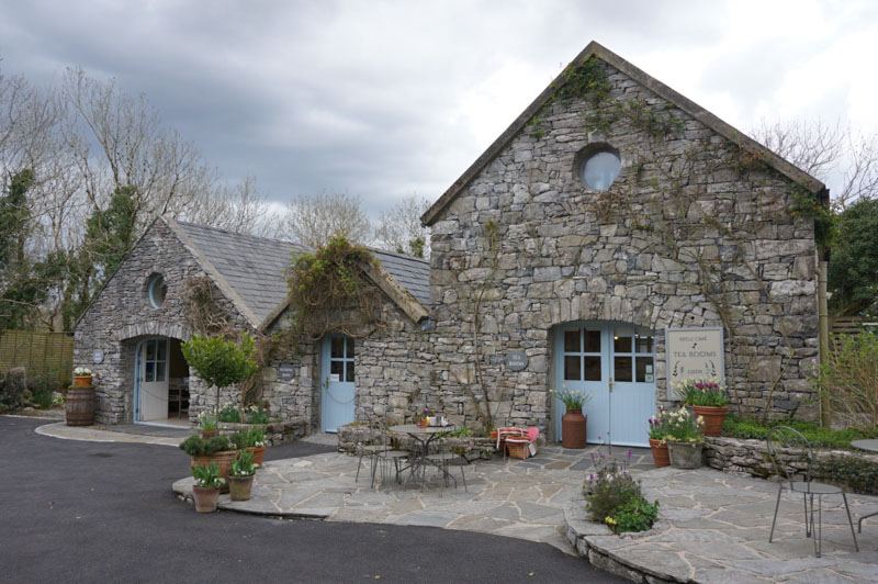
Add your own picture and explain the route, parking, gates, paths or landmarks that help people find it.
Earn 5 points after the picture is checked and accepted.
Add your photo and local directionsShare what you foundWhat is recorded here
On generally lowlying land in pasture with the surface of the field gently undulating due to levelled monument, levelled field boundaries and potential rock outcrop. Good views in all directions. Depicted on the 1842 edition of the OS 6-inch map as a circular area (28.5m N-S; 30m E-W), having a field boundary abutting to N and SE. The monument consists of a levelled circular area (diam. 20m) defined by the remains of a scarp (Wth 2.8m; H 0.4m). The interior has a gentle N-facing slope. There are faint traces of a fosse SW-NNE, which is best preserved (Wth 3.5m; D 0.15m) at SW where it is most distinct. A possible causewayed entrance (Wth 4.5m) is located at W. The remains of a levelled field boundary extend from the exterior at SE.
The following images have been uploaded:
CL027-045----_01.jpg From NE. General view of monument.
CL027-045----_02.jpg From SE. Cross-section view of scarp and fosse at SW.
CL027-045----_03.jpg From SW. Cross-section view of scarp at NW.
Compiled by: Mary Tunney, Alison McQueen and Vera Rahilly
Date of upload: 12 December 2018
The monument record does not grant public access. Check the route and ask the landowner before entering private land.