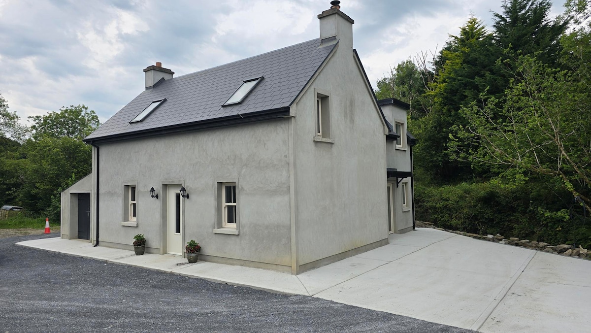
Add your own picture and explain the route, parking, gates, paths or landmarks that help people find it.
Earn 5 points after the picture is checked and accepted.
Add your photo and local directionsShare what you foundWhat is recorded here
On an E-facing slope in undulating pasture. Depicted on the first edition (1842) of the OS 6-inch map as the north-eastern two-thirds (from W-N-SE) of a ringfort with the south-western third (from SE-S-W) truncated by a later field boundary running NW-SE. Hachured on the later OS 25-inch plan (1897) and Cassini edition (1920) of the OS 6-inch map as a curving scarp from W-N-E defining – along with a later field boundary from E-S-W - a roughly circular area (est. diam. c. 35m) enclosed by later field boundaries from E-S-W. When inspected in 1999, the enclosing scarp was not clearly visible at ground level.
Compiled by: Gearóid Conroy and Conn Herriott
Date of upload: 29-10-2025
The monument record does not grant public access. Check the route and ask the landowner before entering private land.