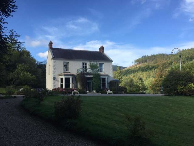
Add your own picture and explain the route, parking, gates, paths or landmarks that help people find it.
Earn 5 points after the picture is checked and accepted.
Add your photo and local directionsShare what you foundWhat is recorded here
On the S-facing slope of a low NE-SW ridge in pasture, offering good views out to S. Hachured and named ‘Lisnabooaun’ on both the first (1842) and current (1920) editions of the OS 6-inch map. Named ‘Lisavooan or Cahermore’ by Westropp (1913, 236). Listed as ‘Ringfort’ in the RMP (1996). This subcircular rath (int. diams. 29.2m NE-SW; 24.3m NW-SE; ext. dims. 49.6m NE-SW; 39.5m NW-SE) is defined by a tree-covered inner earthen bank (Wth 2.7-5m; int. H 0.2m; ext. H 0.4-1m) and an external fosse (Wth of base 1.5-3m; Wth of top 4.8-7m; ext. D 0.3-0.7m). Westropp (ibid.) described the enclosing element as a ‘stone-faced earthwork’. A possible second, outer bank (Wth 2.4m; H 0.5-0.7m) is traceable from SSW-SW, but its line is cut by a N-S running road to the W. There are further traces of the outer bank from E-SE, but the area is disturbed by, now grass-covered, quarrying just to the ENE of the rath. There is a gap (Wth 1.5m) in the inner bank at SW but there is no corresponding gap in the outer bank there. In the NE sector of the overgrown and S-sloping interior is a souterrain (CL017-106002-). A grass-covered field bank runs over the outer edge of the fosse from NW-NE and extends NE away from the rath. Another hedge-covered stony field bank girdles the outer edge of the fosse from ESE-SSW and extends SE from the rath. There is an enclosure (CL017-107----) c. 140m to the NE.
Compiled by: Gearóid Conroy and Conn Herriott
Date of upload: 15-10-2025
The monument record does not grant public access. Check the route and ask the landowner before entering private land.