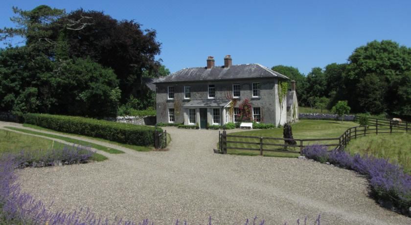
Add your own picture and explain the route, parking, gates, paths or landmarks that help people find it.
Earn 5 points after the picture is checked and accepted.
Add your photo and local directionsShare what you foundWhat is recorded here
In woods at the W side of Inchiquin Island in Inchiquin Lough. Drawn as a rectangular structure on the first edition (1842) of the OS 6-inch map and similarly drawn and labelled ‘King Torlough’s Castle (in Ruins)’ on the OS 25-inch plan (1897) and Cassini edition (1920) of the OS 6-inch map. According to Ua Cróinín and Breen (2009, 6) the castle was built in c. 1284 by Turlough Mór Ó Briain, King of Thomond, and therefore one of the earliest stone castles constructed by an Irish lord in Co. Clare. After Turlough Mór’s death in 1306, Mahon Ó Briain, son of Donall Connachtach, made the castle his headquarters. The annals record that after Murtough Ó Briain’s victory at the battle of Dysert O’Dea in 1318—leaving him undisputed King of Thomond—he resided in the castle. However, it is unknown for how long he stayed there, and there are no subsequent references to the castle which seems have been abandoned quite soon afterwards. (ibid.) In the early 1800s, a cottage was built almost directly on the ruined castle’s foundations.
In 1895, the antiquary George Macnamara conducted an excavation at the castle (Macnamara 1901, 224-6), revealing the ruined base of a rectangular tower house (10.21m N-S; 7.47m E-W) defined by walls (max. H 1.5m at S) of mixed coarse and high-quality masonry, incorporating many cut and hammered stones which were also found scattered about nearby. Macnamara (1901, 225) noted the unusually wide batter around the exterior base of the walls, which he suggested may have been designed to provide improved protection against waves if the lake level was then higher. When first exposed, the walls were found coated with a ‘thick layer of coarse mortar or rough-cast, washed with lime’ (Macnamara, 225-6). The castle remains were later described by Ua Cróinín and Breen (2009, 5) as the base of a rectangular tower house (9m E-W; 6.1m N-S) defined by walls (H c. 2m) of ‘crudely shaped’ masonry ‘with finely carved limestone dressings, set in a lime mortar, in erratic courses.’ Ua Cróinín and Breen did not include the base-batter in their measurements; in their view it was built ‘as an addition to the castle wall, rather than part of it’ (ibid.).
Based on the location of fallen masonry around the walls, Macnamara (1901, 225) suggested that the tower house had a doorway with ‘the usual gothic-pointed head, and jambs excellently cut and ornamented with a checkered pattern’. Because he could not find any remains of the castle’s entrance, he suggested that this was ‘at a considerable height from ground-level, as in the round bell-towers, and both it and the upper rooms were reached by ladders.’ (ibid.) However, Ua Cróinín and Breen (2009, 5) reported finding a stair-step on the ground near the castle. Also, and apparently based on a reconstruction of fallen masonry, Macnamara (1901, 225) concluded that the castle had a two-light window (Wth 0.61m) in its S wall, with a socket-hole at each side of its mullion to secure a double-shutter and another two-light window (Wth c. 0.43m) with externally chamfered mullion in the N or W wall. He noted that the head of the latter window had been incorporated in the N gable of the 19th-century cottage partly overlying the castle ruins. Ua Cróinín and Breen (2009, 5) also found ‘part of a window base with a shutter hole’. Macnamara identified parts of three or four corner-slits, and near the NW angle a semicircular head made from a single block, belonging to a 0.15m-wide window. Another damaged stone bore a crude high-relief carving of a man’s profile with ‘an ornament somewhat in the shape of a curving horn issuing from his mouth’ (ibid.); Macnamara thought that this was probably part of a window-head. He noted that many of the buried stones were ‘not in the least weathered’, leading him to conclude that the castle was destroyed not long after it was made. He proposed that the castle’s design may have been identical to the coeval O’Brien castle at Clonroad (CL033-085001-). He also suggested that the castle may possibly have been part of a larger building and the island encircled by a wall, there being masses of stones of all sizes around the shoreline. Ua Cróinín and Breen (2009, 5) drew a plan showing the remains of a mostly collapsed substantial subcircular wall encompassing most of the island, with an upstanding section at the SE. Within the area enclosed by this wall they identified a collapsed wall running E from the castle’s NE corner, another running S from just outside its SE corner, and an upstanding staggered wall just to the N of the castle. Macnamara (1901, 209-10) also suggested that the O’Quin family who ruled the area before the O’Briens would have had some form of residence on the island, and he tentatively proposed that a crannog (CL017-059001-) at the S end of Inchiquin Island may have been built by the O’Quins.
Compiled by: Gearóid Conroy and Conn Herriott
Date of upload: 13-10-2025
This remains an important historical record, but the official description says the monument is no longer visible or has been destroyed.
The monument record does not grant public access. Check the route and ask the landowner before entering private land.