Add your own picture and explain the route, parking, gates, paths or landmarks that help people find it.
Earn 5 points after the picture is checked and accepted.
Add your photo and local directionsShare what you foundWhat is recorded here
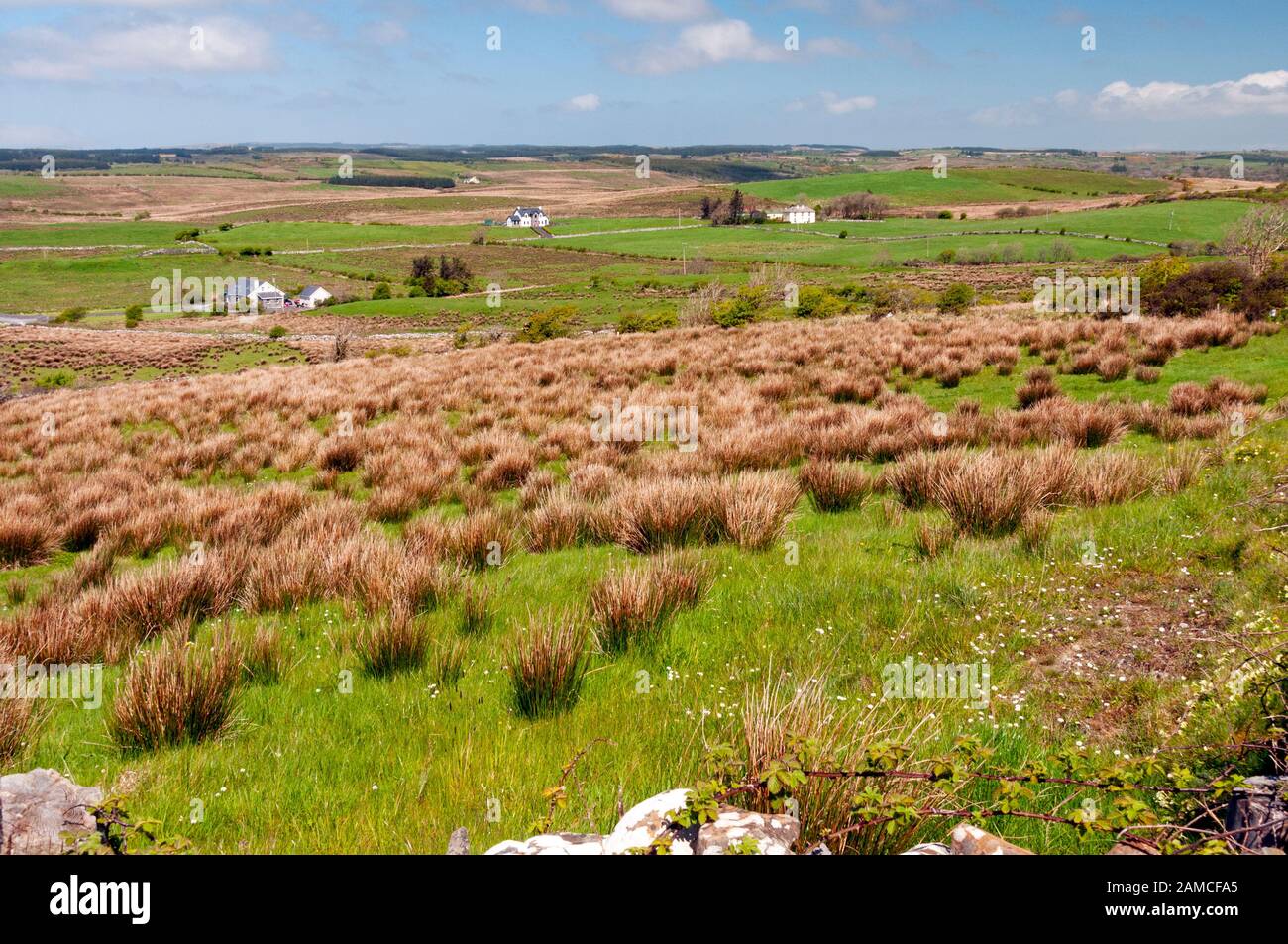
On Knockaunnadrankady Hill, a steep prominent hill, in partly drained pasture with higher ground to the N and spectacular views all round. Hachured and named ‘Lissyogan’ on the 1840 and 1916 eds. of the OS 6-inch maps and depicted as a rectangular fort. Listed as ‘enclosure’ in the RMP (1996). Described by Westropp (1913, 260) as an oblong earthwork, 100 feet [c. 30.4m] by 150 feet [c. 45.7m] on Knockaunadrankady (Little Hill of the Fleas) in Moher-bullog’.
An oval rath (42.75m E-W; 32m N-S) defined by a scarped platform (H 0.8m) surrounded by an overgrown steep-sided wet fosse (Wth 6m). An outer bank (Wth 3.25m; int. H 0.4m; ext. H 0.2m) is visible at S. The interior is generally flat and featureless but rises gradually towards the perimeter at E. A gap (Wth 3.2m) in this sector is used by farm machinery. A stream runs along the perimeter at E.
Compiled by: Olive Alcock and Lynda McCormack
Date of upload: 29 June 2022
The monument record does not grant public access. Check the route and ask the landowner before entering private land.