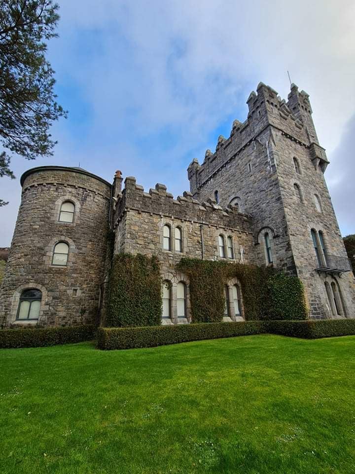
Add your own picture and explain the route, parking, gates, paths or landmarks that help people find it.
Earn 5 points after the picture is checked and accepted.
Add your photo and local directionsShare what you foundWhat is recorded here
On the E edge of a flat plateau in hilly coarse pastureland and within a small farmyard overlooked by higher ground to the S. A coniferous forest plantation lies 0.8km to the NW. Named ‘Tullagh Castle (in ruins)’ on the 1840 and 1916 eds. of the OS 6-inch maps. It was built sometime before 1570 by Morrough O’ Brien (Ua Cróinín and Breen 2014). O’Donovan described it as a ‘ruined castle’ in 1839 (Comber 1979, 90). When surveyed in 1992 by Ua Cróinín and Breen (2014), all that survived was the 'angle of an internal wall' (H 2m; L of both sections 2m). However, according to local information, one wall stood almost to its full height up to the 1930s, when it was blasted to provide stone for a nearby two-storey farmhouse. Some quoinstones were reused in the corners of the latter house and fragment of a sillstone was noted in the farmyard (ibid.). The surviving walling (Wth 0.68m) consists of a double-faced wall with a mortared rubble core. Some undulations in the field level c. 10m to its W may be associated with it. As noted by Ua Cróinín and Breen (ibid.), the width of the wall suggests that it is more likely to be an internal wall of the castle or, alternatively, it may be the remains of an associated bawn wall or outbuilding.
See attached document with details from Risteárd Ua Cróinín and Martin Breen, The Castles and Tower-houses of Co. Clare (unpublished report). Uploaded courtesy of R. Ua Cróinín and M. Breen.
The following image has been uploaded: CL016-075002_01.jpg View from NW
Compiled by: Olive Alcock and Lynda McCormack
Date of upload: 6 May 2022
The monument record does not grant public access. Check the route and ask the landowner before entering private land.