Add your own picture and explain the route, parking, gates, paths or landmarks that help people find it.
Earn 5 points after the picture is checked and accepted.
Add your photo and local directionsShare what you foundWhat is recorded here
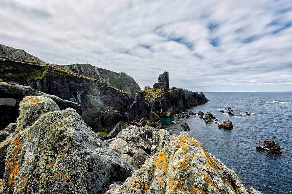
On a W-facing, triangular-shaped headland on the Cliffs of Moher, now landscaped as part of the Burren Way walking route and a popular viewing point on the Cliffs. Listed as ‘Earthwork’ in the RMP (1996). Faint traces of a possible promontory fort defending the headland were identified by Markus Casey in 1998. Previously, Westropp (1900-1902, 427) in his list of ‘Caher Names’ made passing reference to, ‘A bridge near Moher Cliff fort …’ and Westropp (1901, 3) also indicated a ‘Fort’ just SSW of O’Brien’s Tower on his ‘General Map of the Neighbourhood of Lisdoonvarna.’ The construction of O’Brien’s Tower (NIAH reg. no. 20401408), a 19th-century folly and its associated earthen platform, as well as foot traffic and the laying of modern paths has altered the earlier topography of the headland. However, a bank is faintly visible running N-S in the field immediately to the E of O’Brien’s Tower and may be the remains of an earthen defensive feature (Casey 1999). Archaeological monitoring (licence no. 05E1387) of pathway construction works in the area around O’Brien’s Tower did not uncover any archaeological remains or artefacts (Hull 2006).
Compiled by: Gearóid Conroy
Date of upload: 29-10-2025
The monument record does not grant public access. Check the route and ask the landowner before entering private land.