Add your own picture and explain the route, parking, gates, paths or landmarks that help people find it.
Earn 5 points after the picture is checked and accepted.
Add your photo and local directionsShare what you foundWhat is recorded here
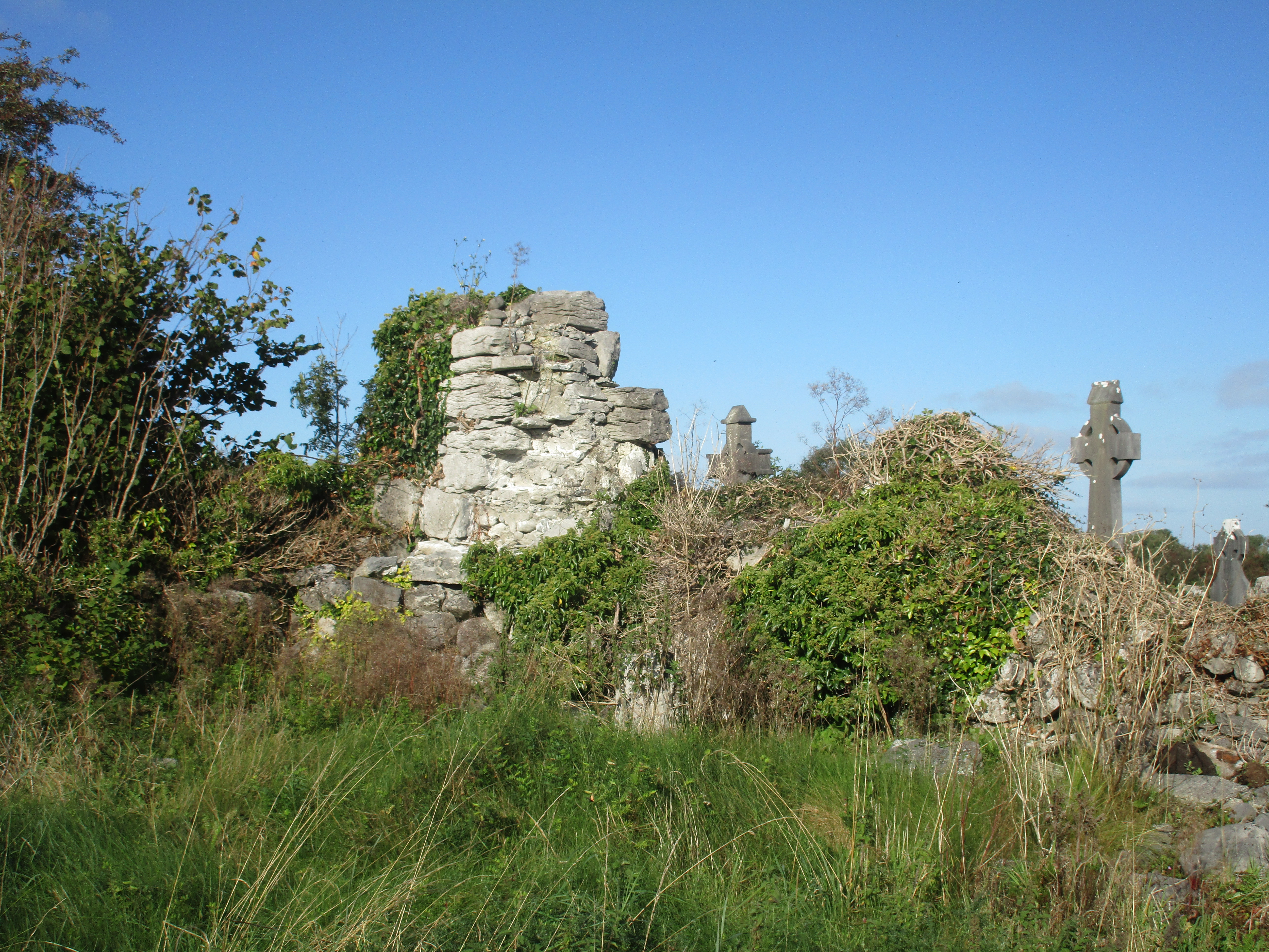
Situated in the NW part of an associated graveyard (CL011-003002-), on rock outcrop on an E-facing slope in undulating low-lying semi-karst pastureland. Indicated and named ‘Church (in Ruins)’ on the 1842 ed. of the OS 6-inch map. Named ‘Cill Taice – Early Christian ch.’ on Robinson’s (1977) map. This poorly preserved L-shaped church (9m N-S; 5.3m E-W (Large 2011)) is represented only by its long ivy-covered E wall (L c. 8m; max. H 3m), against both faces of which rubble is piled. There is a square-headed window in this wall (Large 2011). Also upstanding is the E end of the N wall (L 4m), similarly obscured by rubble and ivy. Only the foundations of the other walls survive (ibid.). The interior is overgrown. Already in a mostly collapsed state when described in the OS Letters of 1839, no details of the church were observed except its masonry, ‘which certainly looks very old’ (Comber 1997, 41). Brew (1998, 57) recounted a tradition that there was once a road between this church and a nearby well (CL011-002001-) which lies c. 355m to the SW.
Compiled by: Mary Tunney and Conn Herriott
Date of upload: 18 January 2023
Brew, F 1998 The Parish of Kilkeedy: a local history, published by Author, Tubber.
The monument record does not grant public access. Check the route and ask the landowner before entering private land.