Add your own picture and explain the route, parking, gates, paths or landmarks that help people find it.
Earn 5 points after the picture is checked and accepted.
Add your photo and local directionsShare what you foundWhat is recorded here
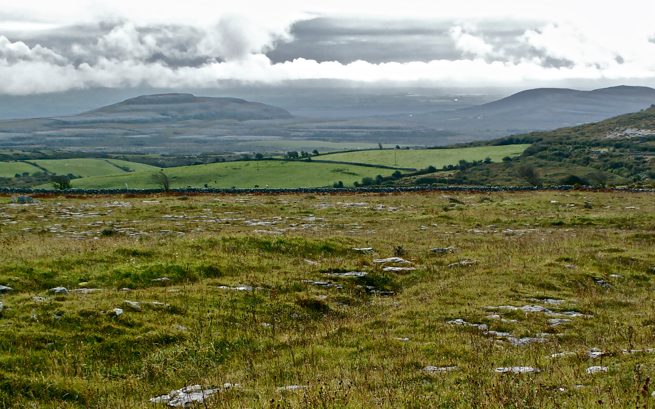
On a low E-W rise on a N-facing slope in partly overgrown rough pasture, with wide views W-N and partially surrounded by a shallow ravine (Wth 20m; D c. 3m) at SE-SW. Within a field system (CL009-166001-). Indicated on the first edition (1842) and hachured on the later, Cassini edition (1920) of the OS 6-inch map. Listed as ‘Enclosure’ in the RMP (1996). This subcircular cashel (30.9m N-S; 28.3m E-W) is defined by a moss-covered, double-faced stone wall (Wth 1.8m at S; int. H 0-0.5m; max. ext. H 1.4m at W) and associated collapsed walling (combined Wth 2-3.5m). The outer wall-face is visible all around although somewhat obscured by overgrowth at E. At S, a later drystone wall overlies the inner wall-face. There is a livestock gap at ENE. The interior contains a later livestock pen (int. dims. 9m E-W; 5m N-S) built against the inner wall face at N, and there is an overgrown subcircular cairn (diam. 4m; H 0.3m) at S just inside the enclosing wall.
Compiled by: Gearóid Conroy and Conn Herriott
Date of upload: 12 May 2023
The monument record does not grant public access. Check the route and ask the landowner before entering private land.