Add your own picture and explain the route, parking, gates, paths or landmarks that help people find it.
Earn 5 points after the picture is checked and accepted.
Add your photo and local directionsShare what you foundWhat is recorded here
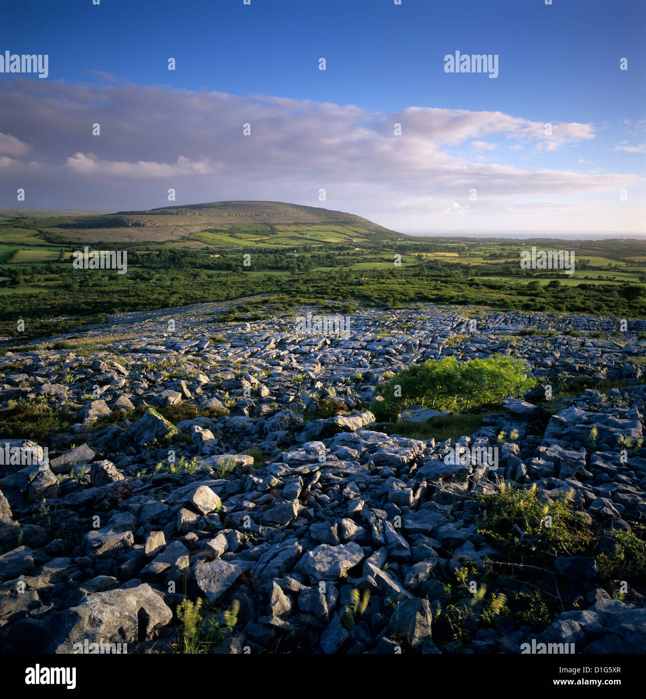
On a gentle W-facing slope in rough grazing and exposed limestone pavement. Indicated on the Cassini edition (1916) of the OS 6-inch map. Listed as ‘Enclosure’ in the RMP (1996). An overgrown circular area (int. diams. 24m N-S; 23m E-W) is defined by a low bank of stone and earth (Wth 2-2.5m; H 0.2-0.3m). A later field wall is built along the inner edge of the original enclosure line and acts as the townland boundary (S-W-N) with Ballyconry townland to the W. The interior grows meadow sweet, silverweed, birds-foot-trefoil and St John’s Wort.
Summary by: Gearóid Conroy and Lynda McCormack
Date of upload: 14 December 2022
The monument record does not grant public access. Check the route and ask the landowner before entering private land.