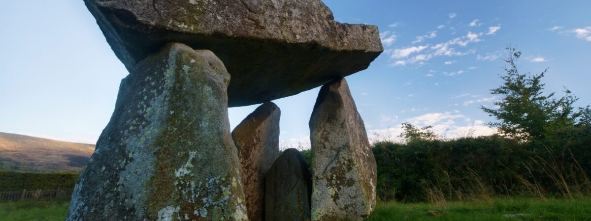
Add your own picture and explain the route, parking, gates, paths or landmarks that help people find it.
Earn 5 points after the picture is checked and accepted.
Add your photo and local directionsShare what you foundWhat is recorded here
Towards the W end of an E-W ridge with a gentle slope to the N and W; the land falls to the S where there are wide views. Hachured and labelled ‘Ballykeel Fort’ on the 1842 and 1920 eds. of the OS 6-inch map. Listed as ‘Enclosure’ in the RMP (1996). This subcircular rath (ext. diam. 37m) is defined by an earthen bank surrounded by a fosse. The bank (Wth 5-6m; int. H 0.2–0.3m; ext. H 0.8–1.4m) is evident all round, although damaged at S. The flat-bottomed fosse (Wth 3.3-5.5; Wth of base 2.3-4.2; ext. D 0.3-0.5m) is destroyed at S where an attempt to construct a silage pit was abandoned. Both bank and fosse are more substantial at W. There is a later gap in the perimeter at WNW. The interior is heavily overgrown with furze and briars. A narrow roadway, running roughly N-S, is visible c. 8m to the E of the rath and a more recent trackway is visible c. 10m to its N.
Compiled by: Olive Alcock and Conn Herriott
Date of upload: 24 May 2022
The monument record does not grant public access. Check the route and ask the landowner before entering private land.