Add your own picture and explain the route, parking, gates, paths or landmarks that help people find it.
Earn 5 points after the picture is checked and accepted.
Add your photo and local directionsShare what you foundWhat is recorded here
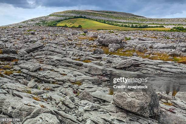
On a N-S ridge of grass-covered limestone pavement in pasture, land sloping gently to S and W, and steeply to E, while c. 25m to N is a shallow E-W ravine. Within a large multiperiod field system (CL009-059001-). Hachured and labelled ‘Caherwalsh’ on the 1842 and 1920 eds. of the OS 6-inch map. This large subrectangular cashel (int. dims. 38.8m E-W; 38.4m N-S; ext. dims. 47.7m N-S; 46.3m E-W) of probable late medieval date (Fitzpatrick 2009, 299; Comber 2019, 146) is defined by a stone wall (est. Wth 2-4m; int. H 0.6-0.8m; ext. H 1.4-2m). Only the outer wall-face is visible, composed of large horizontally laid stones (max. L 1.2m; Wth 0.5m; H 0.4m). There is extensive wall collapse against the inner and outer wall-face (total Wth 5.5-8m).
In the S centre are the remains of a late medieval house (CL009-059123-) which was identified by FitzPatrick (2009, 299) as the tighe móir (main residence). Other smaller possible house sites (CL009-271---- and CL009-272---- and CL009-273----) also lie in the interior and four D-shaped structures (CL009-274---- to CL009-277----) are built against the inner face of the cashel wall, two at NE and two at SE. A curving wall (L c. 32m) extends E-W across the N centre of the cashel.
A cairn (CL009-059043-) lies c. 4m to the S and a cluster of hut sites (CL009-059044-) lies c. 9.5m to the W.
Compiled by: Mary Tunney and Conn Herriott
Date of upload: 14 February 2022
The monument record does not grant public access. Check the route and ask the landowner before entering private land.