Add your own picture and explain the route, parking, gates, paths or landmarks that help people find it.
Earn 5 points after the picture is checked and accepted.
Add your photo and local directionsShare what you foundWhat is recorded here
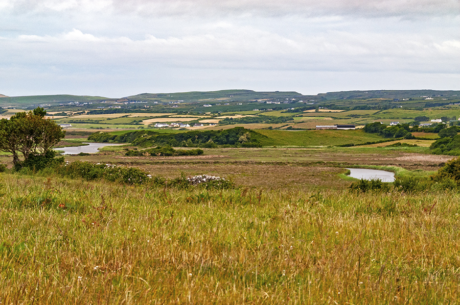
On an E-facing slope at the E end of an E-W ridge in an area of cut-away bog and rough pasture, with land falling very steeply (H c. 2m) immediately to NNE-E-S and affording broad views over rock outcrop, woodland and conifer plantations NW-E-SW. Named 'Caherreagh' on the first edition (1842) of the OS 6-inch map where it is shown as a circular enclosure (est. max diam. c. 33m) and is also named 'Caherreagh' on the later, Cassini edition (1920) of the map.
The since altered monument survives as a pear-shaped area (dims. 30.5m NW-SE; 25m NE-SW) defined by an overgrown, drystone wall (H 0.9-1m; Wth 0.25m) which has largely collapsed at N and NE. Loose stone around the base of this wall may be either field-clearance rubble or original wall tumble. At NW, the enclosing element extends NW to form a subtriangular area (12m NE-SW; 6m NW-SE). A low rise in ground level there suggests this is a later feature, and a low bank extending across the inner, SE side of this feature joins with the rest of the circular perimeter – the original enclosing line of the monument.
The ground surface of the interior consists of karstic pavement covered by a thin layer of soil with many loose slabs and boulders but two upright slabs project from the ground at E and S. According to local tradition, a ‘lone bush’ in the SE sector is thought to be significant. An enclosure (CL008-145----) lies c. 118m to the W.
See attachments:
• CL008-092----_01 Sketch plan – not to scale.
• CL008-092----_02 Aerial view from WNW (Markus Casey, 6-10-1998)
Summary by: Gearóid Conroy and Conn Herriott
Date of upload: 1 December 2022
The monument record does not grant public access. Check the route and ask the landowner before entering private land.