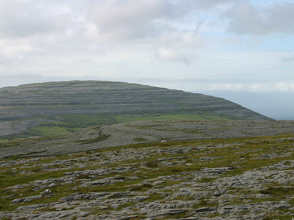
Add your own picture and explain the route, parking, gates, paths or landmarks that help people find it.
Earn 5 points after the picture is checked and accepted.
Add your photo and local directionsShare what you foundWhat is recorded here
On level reclaimed pastureland at the NE end of low narrow NE–SW ridge with short but steep slopes falling away from the site to W, N and E, within a field system (CL006-036001-). Indicated on the 1915 ed. of the 6-inch OS map. Listed as ‘Enclosure’ in the SMR (1992) and the RMP (1996). A very poorly preserved roughly circular cashel (int. dims. 23m N–S; 22.1m E–W) defined by a collapsed stone spread (Wth 2.7–4.1m; int. H 0.1–0.3m; ext. H 0.2–1.1m) on top of which is a later tumbled drystone wall. Occasional outer cashel facing-stones survive at S, W and E but no inner facing-stones are obviously visible and there is no trace of an entrance. The perimeter is 90% thorn and briar covered and there is a clump of briar and thorn in the interior to W of centre. It is overlooked by a another cashel (CL006-036003-) c. 150m to the SSW and a third cashel is visible c. 150m to the NNE (CL006-036005-).
Compiled by: Mary Tunney and Ros Ó Maoldúin
Date of upload: 12 May 2021
This remains an important historical record, but the official description says the monument is no longer visible or has been destroyed.
The monument record does not grant public access. Check the route and ask the landowner before entering private land.