Add your own picture and explain the route, parking, gates, paths or landmarks that help people find it.
Earn 5 points after the picture is checked and accepted.
Add your photo and local directionsShare what you foundWhat is recorded here
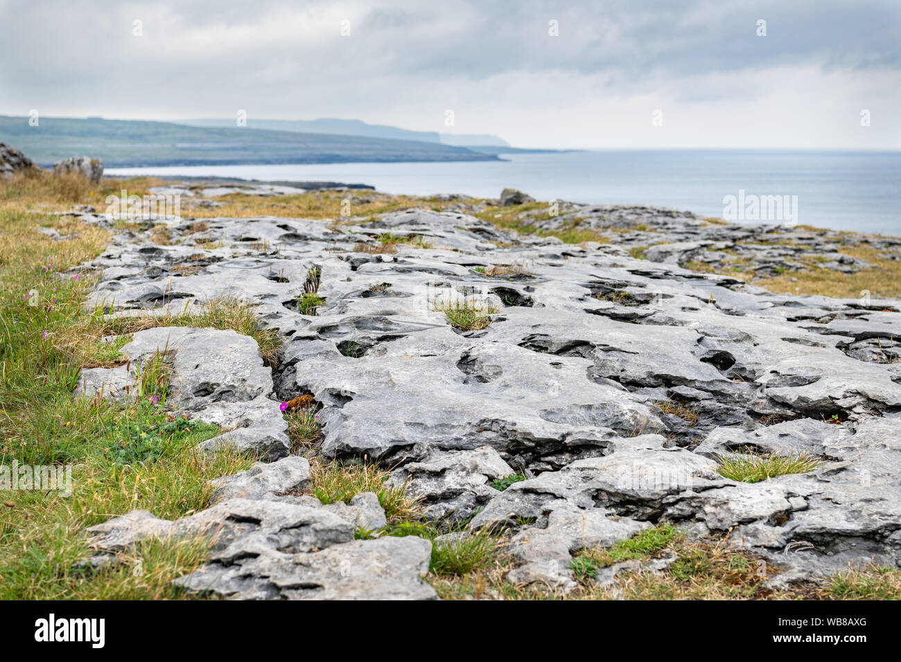
Situated on level rocky grassland overlooked NE-S by a rocky ridge. Listed as ‘Enclosures’ in the RMP (1996) on the basis of information submitted in 1994 (pers. comm. T. Coffey). On inspection in 1998 this was found to be a subrectangular enclosure (int. diam. 16m NE-SW; 14m NW-SE) defined by an apparently modern drystone wall. The NE sector of the interior is higher than the rest. A small ruined stone pen or hut lies 5m from enclosure at E.
Compiled by: Mary Tunney
Date of upload: 2 February 2016
The monument record does not grant public access. Check the route and ask the landowner before entering private land.