Add your own picture and explain the route, parking, gates, paths or landmarks that help people find it.
Earn 5 points after the picture is checked and accepted.
Add your photo and local directionsShare what you foundWhat is recorded here
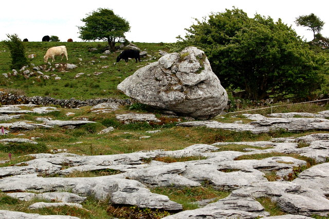
In rocky pasture, on the high SE slopes of a hill with clear views to E, S, and SW, and within an extensive multiperiod field system (CL005-160001-). Indicated as an enclosure on the 1916 OS 6-inch map. Listed as ‘Enclosure’ on the RMP (1996). Marked on Tim Robinson’s Burren map (1977). A subcircular cashel (29m N-S; 25.8m E-W) defined by a drystone wall (Wth 0.8m) that has been reduced to a rubble spread (Wth c. 2m) in places. The outer wall-facing survives intermittently (max. H 0.9m). The inner wall facing has largely collapsed, with a short stretch surviving at SW (H 0.9m). The monument has no clear entrance aside from a slight break in the wall to the N. A modern animal pen has been built in the NW quadrant of the garth. The cashel appears to be superimposed on an earlier NE-SW mound wall visible on OSi MapGenie orthophotography (2013-2018).
Compiled by: Mary Tunney and Eve Campbell
Date of upload: 30 September 2025
The monument record does not grant public access. Check the route and ask the landowner before entering private land.