Add your own picture and explain the route, parking, gates, paths or landmarks that help people find it.
Earn 5 points after the picture is checked and accepted.
Add your photo and local directionsShare what you foundWhat is recorded here
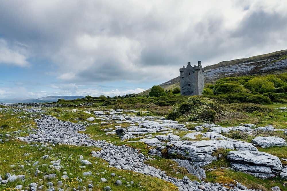
In exposed elevated rocky pasture with clear views in all direction. Within a multiperiod field system (CL005-104001-). Depicted as an enclosure on the 1916 OS 6-inch map. A subrectangular area (33m N-S; 26m E-W) defined by a wall (Wth 1.4-2.1m) with traces of potentially older outer wall-facing at ESE (H 1m) and SE (1.5m). There is an alcove in the inside of the wall at NW. Machine-made gaps are present at SW and NE with a smaller gap at WSW. A curving bank across the S corner of the enclosure creates a small internal triangular subdivision (c. 10m E-W; c. 2m N-S).
Compiled by: Mary Tunney and Eve Campbell
Date of upload: 21 October 2025
The monument record does not grant public access. Check the route and ask the landowner before entering private land.